Based on data in OpenStreetMap, here is a list of townlands in the Electoral Division / ED / District Electoral Division of Ballynamona.
Ballynamona is in Co.
Ballynamona is not matched up to Logainm.ie yet.
Léarscáil
It is located at 53° 26' 41" N, 8° 4' 9" W.
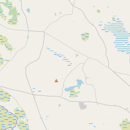
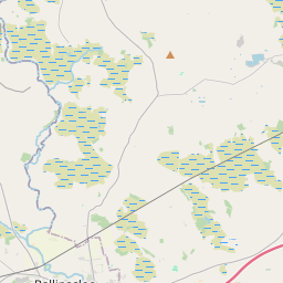
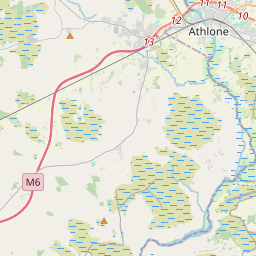
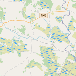
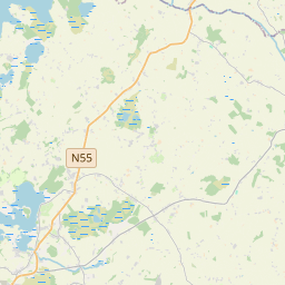
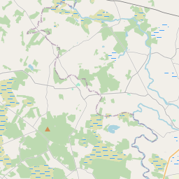
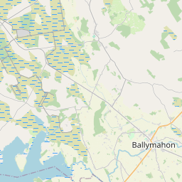
Leaflet | Map data © OpenStreetMap contributors
Achar
Ballynamona has an area of 19.9 km² / 4,921.0 acres / 7.7 square miles.
Ceannbhailte
There are 16 townlands that we know about in . This represents 100% of all the area in .
- Atteagh 210 A, 2 R, 38 P
- Ballycreggan 343 A, 1 R, 29 P
- Ballymullavill 200 A, 1 R, 3 P
- Tobar Bríde 262 A, 3 R, 9 P
- Cornageeha 311 A, 1 R, 3 P
- Corrantotan 170 A, 1 R, 14 P
- Derrynasee 207 A, 0 R, 15 P
- Eskerbaun 459 A, 3 R, 11 P
- Gortacoosan 138 A, 2 R, 11 P
- Keadagh 40 A, 3 R, 13 P
- Knocknanool 375 A, 0 R, 20 P
- Lissygreaghan 103 A, 0 R, 9 P
- Mullagh 42 A, 3 R, 14 P
- Pollalaher 653 A, 2 R, 22 P
- Ratawragh 148 A, 2 R, 0 P
- Rooskagh 1252 A, 2 R, 23 P
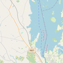
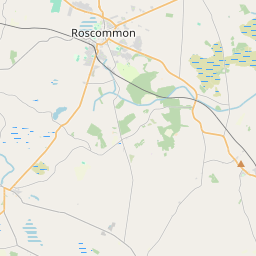
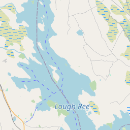
 OpenStreetMap
Ballynamona was added to OpenStreetMap on 2 Noll 2016 by Boggedy.
- View
- Edit