Based on data in OpenStreetMap, here is a list of townlands in the Electoral Division / ED / District Electoral Division of Cregga.
Cregga is in Co.
Cregga is not matched up to Logainm.ie yet.
Léarscáil
It is located at 53° 48' 55" N, 8° 8' 7" W.
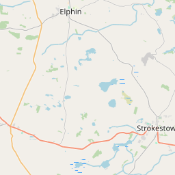
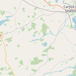
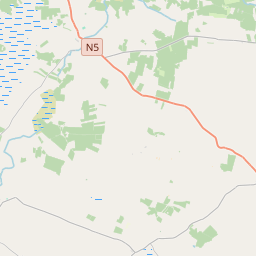
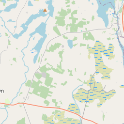
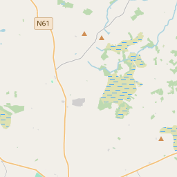
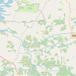
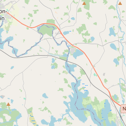
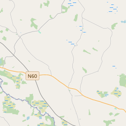
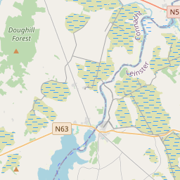
Leaflet | Map data © OpenStreetMap contributors
Achar
Cregga has an area of 14.6 km² / 3,615.8 acres / 5.6 square miles.
Ceannbhailte
There are 14 townlands that we know about in . This represents 100% of all the area in .
- Caldragh 199 A, 2 R, 18 P
- Cluain Coilleáin 647 A, 1 R, 26 P
- Cloonybrennan 293 A, 2 R, 25 P
- Creaga 478 A, 2 R, 3 P
- Cuilrevagh 418 A, 3 R, 39 P
- Dún Ard Beag 140 A, 3 R, 10 P
- Dún Ard Mór 272 A, 3 R, 31 P
- Cill Trostáin 315 A, 0 R, 29 P
- Lettreen 155 A, 3 R, 24 P
- Lugboy 257 A, 2 R, 27 P
- Luggs 65 A, 1 R, 14 P
- Tansyfield 107 A, 1 R, 39 P
- Tullen 147 A, 3 R, 22 P
- Tullycartron 114 A, 1 R, 24 P
 OpenStreetMap
Cregga was added to OpenStreetMap on 25 Mfómh 2015 by NoelB.
- View
- Edit