Based on data in OpenStreetMap, here is a list of townlands in the Electoral Division / ED / District Electoral Division of Ballysadare West.
Ballysadare West is in Co.
Ballysadare West is not matched up to Logainm.ie yet.
Léarscáil
It is located at 54° 11' 44" N, 8° 34' 39" W.
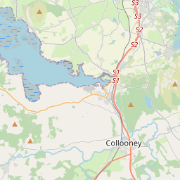
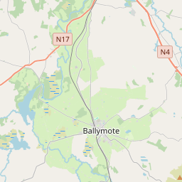
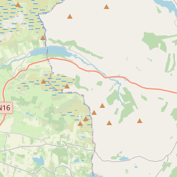
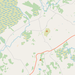
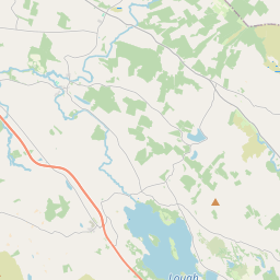
Leaflet | Map data © OpenStreetMap contributors
Achar
Ballysadare West has an area of 19.6 km² / 4,831.5 acres / 7.5 square miles.
Ceannbhailte
There are 14 townlands that we know about in . This represents 100% of all the area in .
- Bile 246 A, 2 R, 27 P
- Cnoc an Chuilinn 306 A, 3 R, 28 P
- An Gleann 519 A, 3 R, 27 P
- Cionn na Greallaí 583 A, 0 R, 26 P
- Cnocán na Fuiseoige 369 A, 0 R, 26 P
- An Lios Dubh 158 A, 2 R, 19 P
- Log an Bharraigh 305 A, 0 R, 24 P
- Log na Daibhche 366 A, 3 R, 0 P
- Madhmloch 418 A, 3 R, 27 P
- Mullach na Sí 248 A, 3 R, 4 P
- Ceathrú na gCaorach 207 A, 0 R, 38 P
- Baile an tSrutháin 378 A, 0 R, 21 P
- Ionghabháil Thóin re Gó 343 A, 3 R, 26 P
- An Tulachán 378 A, 0 R, 29 P
 OpenStreetMap
Ballysadare West was added to OpenStreetMap on 17 Lún 2015 by NoelB.
- View
- Edit