Based on data in OpenStreetMap, here is a list of townlands in the Electoral Division / ED / District Electoral Division of Drumcliff East.
Drumcliff East is in Co.
Drumcliff East is not matched up to Logainm.ie yet.
Léarscáil
It is located at 54° 18' 24" N, 8° 26' 53" W.
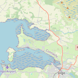
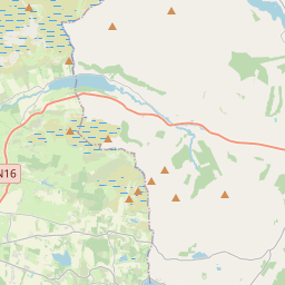
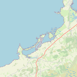
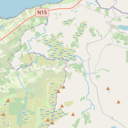
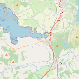
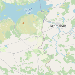
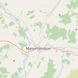
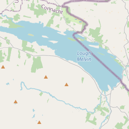
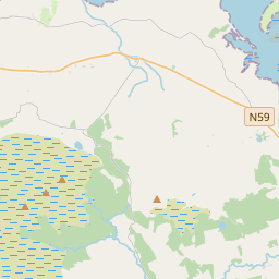
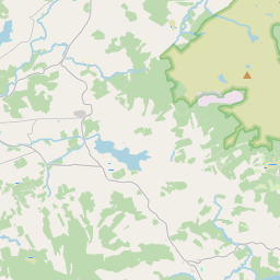
Leaflet | Map data © OpenStreetMap contributors
Achar
Drumcliff East has an area of 14.0 km² / 3,463.4 acres / 5.4 square miles.
Ceannbhailte
There are 15 townlands that we know about in . This represents 96.6% of all the area in .
- Baile an Bhóthair 147 A, 3 R, 17 P
- Carn Chais 198 A, 3 R, 6 P
- Cluain Darach 209 A, 3 R, 27 P
- An Cluainín 248 A, 0 R, 6 P
- Dún Aille 232 A, 3 R, 38 P
- An Droim Thoir 155 A, 3 R, 28 P
- Droim Chill Saileach 249 A, 2 R, 36 P
- An Droim Thiar 156 A, 3 R, 22 P
- Cill Saileach 564 A, 3 R, 5 P
- Coillte Cúile 195 A, 2 R, 9 P
- Lios na Lorg 174 A, 2 R, 36 P
- Ráth Ó mBoirne 258 A, 2 R, 0 P
- Seanuamhain Uachtarach 185 A, 0 R, 23 P
- Taosán 158 A, 3 R, 34 P
- An Tulaigh 206 A, 2 R, 26 P
 OpenStreetMap
Drumcliff East was added to OpenStreetMap on 13 Mfómh 2015 by NoelB.
- View
- Edit