Based on data in OpenStreetMap, here is a list of townlands in the Electoral Division / ED / District Electoral Division of Burgesbeg.
Burgesbeg is in Co.
Burgesbeg is not matched up to Logainm.ie yet.
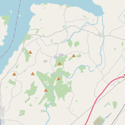
Léarscáil
It is located at 52° 48' 59" N, 8° 19' 1" W.

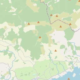
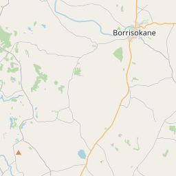
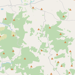
Leaflet | Map data © OpenStreetMap contributors
Achar
Burgesbeg has an area of 19.1 km² / 4,711.4 acres / 7.4 square miles.
Ceannbhailte
There are 16 townlands that we know about in . This represents 100% of all the area in .
- Baile Uí Chuidithigh Beag 45 A, 2 R, 19 P
- Baile Uí Chuidithigh Mór 85 A, 1 R, 37 P
- Bealach Uisce 193 A, 3 R, 17 P
- Baile Mhic Uilliam 187 A, 1 R, 35 P
- An Bhuirgéis 229 A, 1 R, 28 P
- An Bhuirgéis 621 A, 3 R, 10 P
- An Charraig Gheal 351 A, 2 R, 3 P
- Caisleán na Cranncha 378 A, 1 R, 4 P
- An Chloch Liath 61 A, 1 R, 12 P
- An Dromainn 419 A, 3 R, 3 P
- An Gort Mór 890 A, 3 R, 38 P
- Gort na Sceiche 414 A, 2 R, 14 P
- Gort Uí Choileáin 139 A, 0 R, 13 P
- Cill na Cranncha 172 A, 2 R, 30 P
- Cnocán an Mhála 94 A, 1 R, 28 P
- An Scraig 425 A, 0 R, 13 P
 OpenStreetMap
Burgesbeg was added to OpenStreetMap on 8 Noll 2016 by Teester.
- View
- Edit