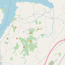
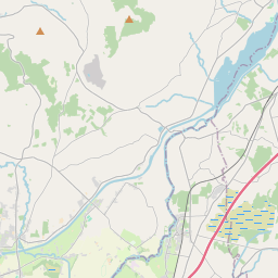
Based on data in OpenStreetMap, here is a list of townlands in the Electoral Division / ED / District Electoral Division of Derrycastle.
Derrycastle is in Co.
Derrycastle is not matched up to Logainm.ie yet.
Léarscáil
It is located at 52° 50' 25" N, 8° 24' 40" W.


Leaflet | Map data © OpenStreetMap contributors
Achar
Derrycastle has an area of 22.7 km² / 5,619.6 acres / 8.8 square miles.
Ceannbhailte
There are 16 townlands that we know about in . This represents 82.4% of all the area in .
- An Chúil Bhán 242 A, 1 R, 3 P
- An Com Beag 932 A, 0 R, 25 P
- Currach an Bhiolair 256 A, 3 R, 20 P
- Doire Beag 180 A, 1 R, 29 P
- Diméin Dhoire 428 A, 2 R, 29 P
- An Drom Bán 99 A, 2 R, 37 P
- An Baile Gallda 49 A, 2 R, 26 P
- An Ghráinseach 361 A, 1 R, 24 P
- Coill Áirí 210 A, 1 R, 31 P
- Coill Áirí (Hayes) 232 A, 3 R, 7 P
- Coill Áirí (Smith) 87 A, 3 R, 16 P
- An Liagán 350 A, 0 R, 21 P
- An Baile Nua 249 A, 0 R, 17 P
- Rinn Inse Íochtarach 97 A, 2 R, 7 P
- Rinn Inse Uachtarach 479 A, 1 R, 30 P
- Tonn Toinne 369 A, 3 R, 13 P
 OpenStreetMap
Derrycastle was added to OpenStreetMap on 8 Noll 2016 by Teester.
- View
- Edit

 JOSM
JOSM iD
iD