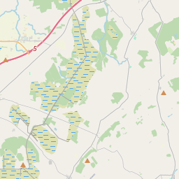
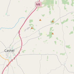
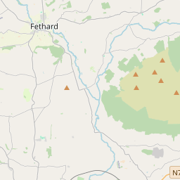
Based on data in OpenStreetMap, here is a list of townlands in the Electoral Division / ED / District Electoral Division of Killenaule.
Killenaule is in Co.
Killenaule is not matched up to Logainm.ie yet.
Léarscáil
It is located at 52° 35' 1" N, 7° 40' 58" W.


Leaflet | Map data © OpenStreetMap contributors
Achar
Killenaule has an area of 26.8 km² / 6,628.8 acres / 10.4 square miles.
Ceannbhailte
There are 17 townlands that we know about in . This represents 100% of all the area in .
- Ballintogher 828 A, 3 R, 1 P
- Ceathrú an Chaisleáin 169 A, 0 R, 16 P
- An Chúil Doimhin 303 A, 0 R, 37 P
- Cros Cheanann 90 A, 2 R, 37 P
- Dún Goib 319 A, 3 R, 29 P
- An Garrán 67 A, 2 R, 22 P
- An Ghráig Íochtarach 622 A, 1 R, 7 P
- An Ghráig Uachtarach 163 A, 0 R, 35 P
- Kilboy 66 A, 3 R, 4 P
- Kilbrannel 292 A, 1 R, 25 P
- Na Cillíní 1573 A, 2 R, 22 P
- Cill Náile 331 A, 3 R, 36 P
- Cnoc an Bhardaigh 321 A, 0 R, 6 P
- Buaile Ghréine 968 A, 2 R, 33 P
- Maigh Slat 207 A, 3 R, 18 P
- An Ráth Rua 132 A, 3 R, 18 P
- Springhill 168 A, 2 R, 11 P
 OpenStreetMap
Killenaule was added to OpenStreetMap on 13 Noll 2016 by Teester.
- View
- Edit

 JOSM
JOSM iD
iD