Based on data in OpenStreetMap, here is a list of townlands in the Electoral Division / ED / District Electoral Division of Lattin.
Lattin is in Co.
Lattin is not matched up to Logainm.ie yet.
Léarscáil
It is located at 52° 26' 58" N, 8° 16' 59" W.
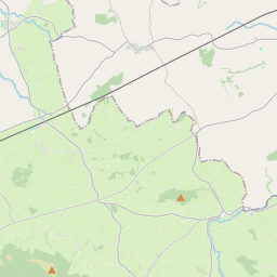
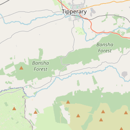
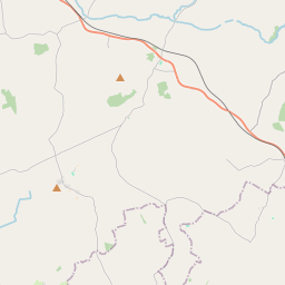
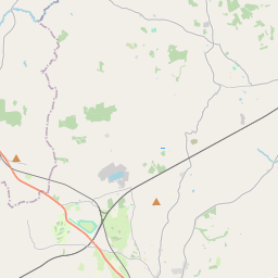
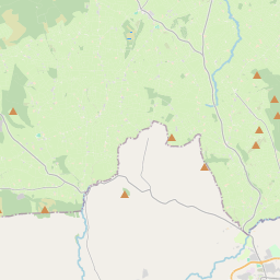
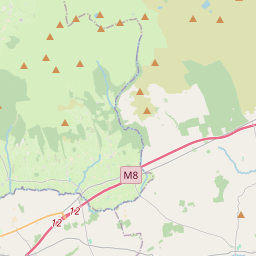
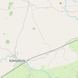
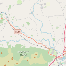
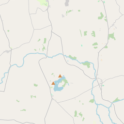
Leaflet | Map data © OpenStreetMap contributors
Achar
Lattin has an area of 15.9 km² / 3,924.0 acres / 6.1 square miles.
Ceannbhailte
There are 13 townlands that we know about in . This represents 100% of all the area in .
- Baile Uí Chonraoi 165 A, 0 R, 10 P
- Ballynacleragh 337 A, 2 R, 26 P
- Baile an Trocalaigh 179 A, 2 R, 12 P
- Baile Uí Mhaghair 561 A, 0 R, 8 P
- Baile na gCléireach 2 A, 0 R, 18 P
- Cill Phádraig 81 A, 0 R, 11 P
- Kilross 617 A, 3 R, 13 P
- Cnoc Bhaile na mBulbhach 275 A, 2 R, 1 P
- Laitean Thoir 207 A, 0 R, 38 P
- Laitean Thuaidh 262 A, 3 R, 3 P
- Laitean Thiar 183 A, 2 R, 9 P
- An Lios Dubh 236 A, 0 R, 38 P
- Clais na Móna 814 A, 1 R, 1 P
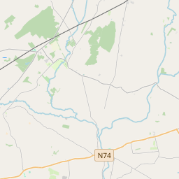
 OpenStreetMap
Lattin was added to OpenStreetMap on 14 Noll 2016 by Teester.
- View
- Edit