Based on data in OpenStreetMap, here is a list of townlands in the Electoral Division / ED / District Electoral Division of Dunbreen.
Dunbreen is in Co.
Dunbreen is not matched up to Logainm.ie yet.
Léarscáil
It is located at 54° 41' 0" N, 7° 17' 10" W.
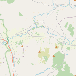
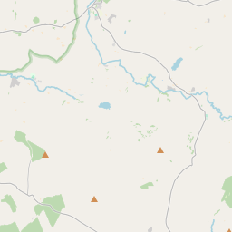
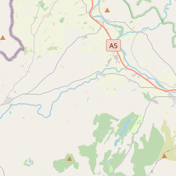
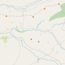
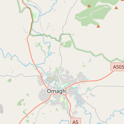
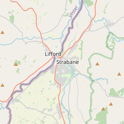
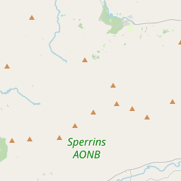
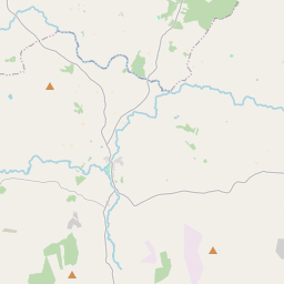
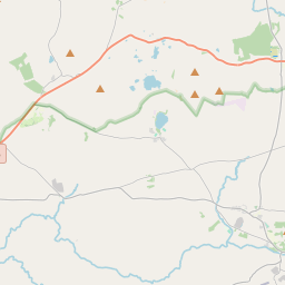
Leaflet | Map data © OpenStreetMap contributors
Achar
Dunbreen has an area of 31.0 km² / 7,654.4 acres / 12.0 square miles.
Ceannbhailte
There are 14 townlands that we know about in . This represents 100% of all the area in .
- Ballykeel 441 A, 0 R, 34 P
- Ballynatubbnit 444 A, 3 R, 36 P
- Carrigans 864 A, 1 R, 10 P
- Castleroddy Glebe 439 A, 1 R, 17 P
- Cullion 1104 A, 0 R, 28 P
- Dunbreen 484 A, 2 R, 31 P
- Eskeradooey 562 A, 3 R, 34 P
- Kingarrow 247 A, 0 R, 8 P
- Lislap East 854 A, 1 R, 30 P
- Lisnaharney 404 A, 2 R, 33 P
- Reaghan 567 A, 1 R, 4 P
- Tattynure 375 A, 0 R, 5 P
- Tircur 401 A, 3 R, 1 P
- Tirmurty 462 A, 1 R, 29 P
 OpenStreetMap
Dunbreen was added to OpenStreetMap on 3 Márta 2021 by b-unicycling.
- View
- Edit