Based on data in OpenStreetMap, here is a list of townlands in the Electoral Division / ED / District Electoral Division of Lissan.
Lissan is in Co.
Lissan is not matched up to Logainm.ie yet.
Léarscáil
It is located at 54° 42' 6" N, 6° 49' 16" W.
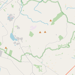
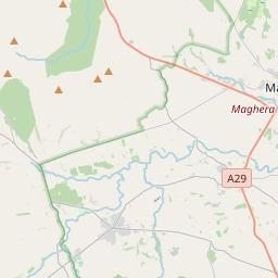
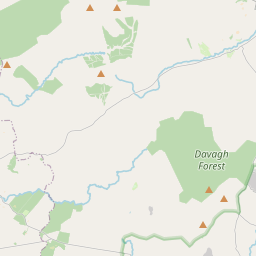
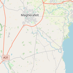
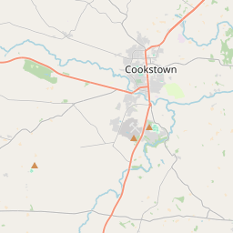
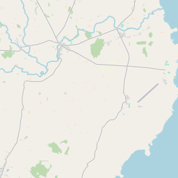
Leaflet | Map data © OpenStreetMap contributors
Achar
Lissan has an area of 31.5 km² / 7,793.2 acres / 12.2 square miles.
Ceannbhailte
There are 14 townlands that we know about in . This represents 100% of all the area in .
- Baile na nGiolla 1866 A, 1 R, 15 P
- Cluainte Geanaidh 263 A, 0 R, 27 P
- Cúl Riach 263 A, 2 R, 21 P
- Cúl Riach 42 A, 3 R, 16 P
- Craobhach 394 A, 2 R, 9 P
- Craobh 304 A, 0 R, 19 P
- Druim Greasa 149 A, 1 R, 36 P
- Dún Mór 1003 A, 1 R, 14 P
- Fiodh Gearain 456 A, 0 R, 17 P
- Liosán 220 A, 3 R, 19 P
- Sleacht Frídín 2302 A, 3 R, 36 P
- Tamhnach Agáin 46 A, 0 R, 30 P
- Táite na Geilte 129 A, 1 R, 4 P
- Unach 350 A, 1 R, 2 P
 OpenStreetMap
Lissan was added to OpenStreetMap on 4 Márta 2021 by b-unicycling.
- View
- Edit