Based on data in OpenStreetMap, here is a list of townlands in the Electoral Division / ED / District Electoral Division of Minterburn.
Minterburn is in Co.
Minterburn is not matched up to Logainm.ie yet.
Léarscáil
It is located at 54° 24' 9" N, 6° 51' 22" W.
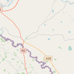
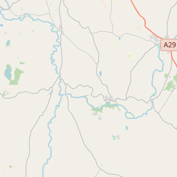
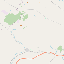
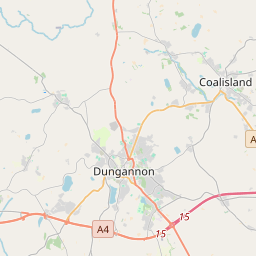
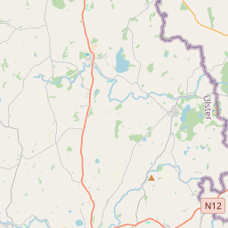
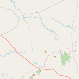
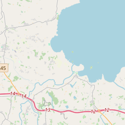
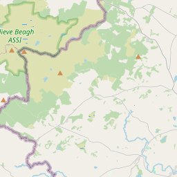
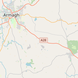
Leaflet | Map data © OpenStreetMap contributors
Achar
Minterburn has an area of 20.9 km² / 5,176.8 acres / 8.1 square miles.
Ceannbhailte
There are 13 townlands that we know about in . This represents 100% of all the area in .
- Eanach Salach 510 A, 2 R, 26 P
- Baile Mhadaidh 233 A, 3 R, 18 P
- Craobh a locha 902 A, 3 R, 16 P
- Cumar 602 A, 0 R, 13 P
- Doire Uí Lapáin 219 A, 2 R, 27 P
- Coill an Fhail 336 A, 2 R, 12 P
- Coill mór 395 A, 2 R, 11 P
- Coill Seannach 414 A, 3 R, 12 P
- Lios Maoildúin 380 A, 1 R, 38 P
- Mullach an Tuair 209 A, 1 R, 32 P
- Mullach Carnain 377 A, 3 R, 23 P
- Mullach Néill 334 A, 2 R, 9 P
- Tamhnach 258 A, 0 R, 39 P
 OpenStreetMap
Minterburn was added to OpenStreetMap on 4 Márta 2021 by b-unicycling.
- View
- Edit