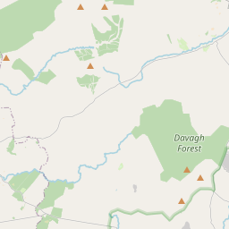
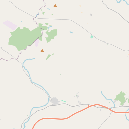
Based on data in OpenStreetMap, here is a list of townlands in the Electoral Division / ED / District Electoral Division of Oaklands.
Oaklands is in Co.
Oaklands is not matched up to Logainm.ie yet.
Léarscáil
It is located at 54° 37' 58" N, 6° 50' 28" W.


Leaflet | Map data © OpenStreetMap contributors
Achar
Oaklands has an area of 21.1 km² / 5,217.7 acres / 8.2 square miles.
Ceannbhailte
There are 20 townlands that we know about in . This represents 100% of all the area in .
- Clare 309 A, 2 R, 36 P
- Cluainte Féarach 171 A, 0 R, 36 P
- Cor Chonaidh 121 A, 0 R, 9 P
- Druim 235 A, 2 R, 9 P
- Druim na croise 178 A, 3 R, 12 P
- Druim na croise 69 A, 3 R, 0 P
- Gleann Airneadh 186 A, 1 R, 23 P
- Gort a Charr 62 A, 0 R, 35 P
- Gort Riach 770 A, 2 R, 9 P
- Caonachán 733 A, 1 R, 31 P
- Cill Dris 198 A, 0 R, 20 P
- Cill Dris 108 A, 3 R, 7 P
- Cnoc a Ladhaire 441 A, 1 R, 37 P
- Lag na Ceasach 89 A, 1 R, 5 P
- Machaire Glas 287 A, 1 R, 10 P
- Oaklands 173 A, 2 R, 20 P
- Tamhnach Chionaoith 393 A, 3 R, 5 P
- Táite Caol 321 A, 3 R, 26 P
- Tír a''Mhuine 121 A, 0 R, 15 P
- Tulaigh Riabhaigh 243 A, 2 R, 2 P
 OpenStreetMap
Oaklands was added to OpenStreetMap on 4 Márta 2021 by b-unicycling.
- View
- Edit

 JOSM
JOSM iD
iD