Based on data in OpenStreetMap, here is a list of townlands in the Electoral Division / ED / District Electoral Division of Oritor.
Oritor is in Co.
Oritor is not matched up to Logainm.ie yet.
Léarscáil
It is located at 54° 39' 51" N, 6° 48' 58" W.
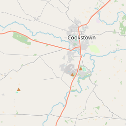
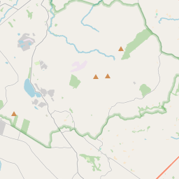
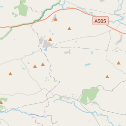
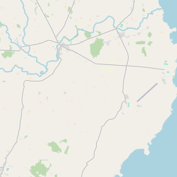
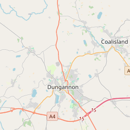
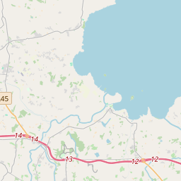
Leaflet | Map data © OpenStreetMap contributors
Achar
Oritor has an area of 21.8 km² / 5,384.5 acres / 8.4 square miles.
Ceannbhailte
There are 22 townlands that we know about in . This represents 100% of all the area in .
- Each laisc 254 A, 3 R, 34 P
- Cluainte Dúna 304 A, 3 R, 20 P
- Cor Choill 224 A, 0 R, 20 P
- Creaga 256 A, 2 R, 7 P
- Doirín Liath 200 A, 1 R, 22 P
- Dúna 263 A, 1 R, 6 P
- Druim Ard 336 A, 0 R, 34 P
- Druim Fhearn 246 A, 3 R, 14 P
- Druim na gCloch 259 A, 1 R, 17 P
- Druim na Meallta 106 A, 3 R, 26 P
- Goirtin 62 A, 0 R, 2 P
- Goirtín 50 A, 0 R, 28 P
- Gort na gCros 150 A, 1 R, 34 P
- Gort Riach 134 A, 0 R, 24 P
- Coill a churraigh 771 A, 3 R, 26 P
- Mackenny 174 A, 3 R, 1 P
- Mín Tobai 615 A, 3 R, 4 P
- Na Coracha Beaga 243 A, 0 R, 0 P
- Tamhlacht 142 A, 1 R, 34 P
- Tír mic Seaain 72 A, 3 R, 5 P
- Tobar leathan 191 A, 3 R, 34 P
- Tulach Cathail 321 A, 2 R, 0 P
 OpenStreetMap
Oritor was added to OpenStreetMap on 4 Márta 2021 by b-unicycling.
- View
- Edit