Based on data in OpenStreetMap, here is a list of townlands in the Electoral Division / ED / District Electoral Division of Pomeroy.
Pomeroy is in Co.
Pomeroy is not matched up to Logainm.ie yet.
Léarscáil
It is located at 54° 35' 30" N, 6° 55' 5" W.
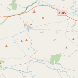
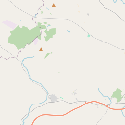
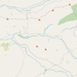
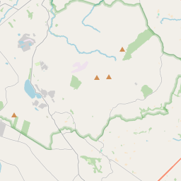
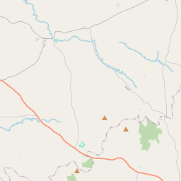
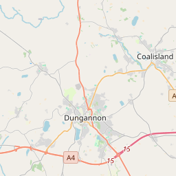
Leaflet | Map data © OpenStreetMap contributors
Achar
Pomeroy has an area of 29.9 km² / 7,389.6 acres / 11.5 square miles.
Ceannbhailte
There are 17 townlands that we know about in . This represents 100% of all the area in .
- Achadh Fada 160 A, 3 R, 13 P
- Cor an Aenaigh 305 A, 0 R, 38 P
- Cabhan na Caithe 150 A, 2 R, 23 P
- Cabhan a Chaorthainn 892 A, 1 R, 33 P
- Cor an Chreabhair 425 A, 0 R, 18 P
- Doire Thais 71 A, 2 R, 12 P
- Goirtín Darach 212 A, 0 R, 16 P
- Gort na gCarn 843 A, 2 R, 12 P
- Coill Aodha 413 A, 2 R, 20 P
- Lime Hill 1438 A, 3 R, 8 P
- Lurga an Fheadain 309 A, 3 R, 30 P
- Magh Mór 593 A, 2 R, 31 P
- Moin Doire Duibh 255 A, 1 R, 20 P
- Pomeroy 328 A, 1 R, 19 P
- Pomeroy 104 A, 1 R, 25 P
- Toin Re Gaoith 277 A, 3 R, 23 P
- Tor na bPearsan 605 A, 3 R, 23 P
 OpenStreetMap
Pomeroy was added to OpenStreetMap on 4 Márta 2021 by b-unicycling.
- View
- Edit