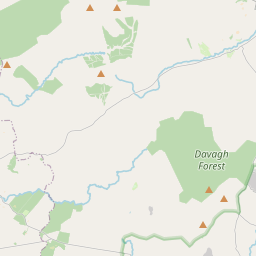
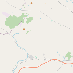
Based on data in OpenStreetMap, here is a list of townlands in the Electoral Division / ED / District Electoral Division of The Rock.
The Rock is in Co.
The Rock is not matched up to Logainm.ie yet.
Léarscáil
It is located at 54° 35' 45" N, 6° 50' 58" W.


Leaflet | Map data © OpenStreetMap contributors
Achar
The Rock has an area of 19.8 km² / 4,890.7 acres / 7.6 square miles.
Ceannbhailte
There are 21 townlands that we know about in . This represents 100% of all the area in .
- Álainn 152 A, 1 R, 4 P
- Eanach Chuinn 142 A, 0 R, 9 P
- Barr dá Sheiseadhach 588 A, 1 R, 16 P
- Doire guirt an fhiaigh 252 A, 3 R, 3 P
- Druim Baile Aodha 214 A, 0 R, 12 P
- Druim Fhiolair 174 A, 2 R, 2 P
- Éadan Dóidhte 349 A, 3 R, 23 P
- Geal-chosach 235 A, 2 R, 25 P
- Gort aidhbheil 361 A, 2 R, 3 P
- Coillte Cléithe 273 A, 2 R, 18 P
- Cnoc an Mhadaidh 235 A, 2 R, 33 P
- Muine Carach 170 A, 0 R, 5 P
- Magh Righ 260 A, 1 R, 23 P
- Magh nEach 110 A, 2 R, 25 P
- Mullach an Iubhair 161 A, 2 R, 38 P
- Uachtar Ard 154 A, 1 R, 11 P
- Seiseadhach 178 A, 1 R, 34 P
- Sceach na hAirgne 257 A, 0 R, 39 P
- Tir na Sgeach 148 A, 1 R, 2 P
- Tul Binne 174 A, 0 R, 7 P
- Tulaigh Domhnaill 295 A, 0 R, 8 P
 OpenStreetMap
The Rock was added to OpenStreetMap on 4 Márta 2021 by b-unicycling.
- View
- Edit

 JOSM
JOSM iD
iD