Based on data in OpenStreetMap, here is a list of townlands in the Electoral Division / ED / District Electoral Division of The Sandholes.
The Sandholes is in Co.
The Sandholes is not matched up to Logainm.ie yet.
Léarscáil
It is located at 54° 35' 34" N, 6° 47' 3" W.
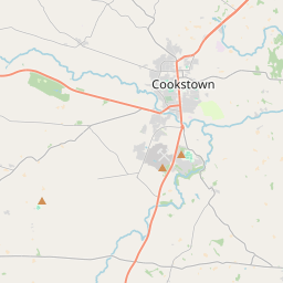
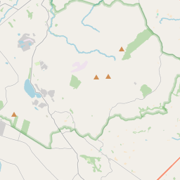
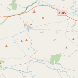
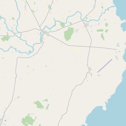
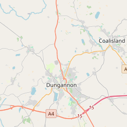
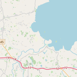
Leaflet | Map data © OpenStreetMap contributors
Achar
The Sandholes has an area of 18.1 km² / 4,483.1 acres / 7.0 square miles.
Ceannbhailte
There are 29 townlands that we know about in . This represents 100% of all the area in .
- Eanach Abhaill 349 A, 0 R, 4 P
- Baile na Cruaiche 144 A, 0 R, 23 P
- Baile na coille 150 A, 2 R, 25 P
- Céide 105 A, 1 R, 1 P
- Cross Glebe 110 A, 1 R, 7 P
- Doire Rathain 179 A, 3 R, 15 P
- Dún 157 A, 3 R, 23 P
- Druim Rátha 146 A, 1 R, 39 P
- Fionnmhagh 95 A, 1 R, 39 P
- Glas Mhullach 69 A, 2 R, 11 P
- Gort Uí Gobhainn 93 A, 2 R, 35 P
- Goirt an Bhile 153 A, 1 R, 5 P
- Gort fada 138 A, 0 R, 16 P
- Gort Fada 187 A, 1 R, 39 P
- Coill Ui Garbháin 139 A, 2 R, 1 P
- Coill an Éadain 167 A, 2 R, 31 P
- Coillte Clochair 162 A, 3 R, 30 P
- Leamhaidh 246 A, 1 R, 32 P
- Lag a Choire 135 A, 2 R, 35 P
- Lios na n-Éan 318 A, 3 R, 32 P
- Mullagh an Tulcha 42 A, 2 R, 39 P
- Rockdale 124 A, 1 R, 8 P
- Sithbhe 151 A, 1 R, 31 P
- Sgiath an Airgid 93 A, 1 R, 16 P
- Stratha 390 A, 1 R, 24 P
- Tulagh 76 A, 1 R, 28 P
- Tulach Ard 153 A, 1 R, 15 P
- Tulaigh Lagáin 124 A, 0 R, 3 P
- Tulaigh Ruadháin 74 A, 2 R, 2 P
 OpenStreetMap
The Sandholes was added to OpenStreetMap on 4 Márta 2021 by b-unicycling.
- View
- Edit