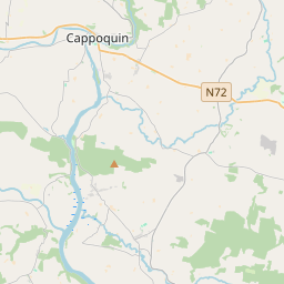
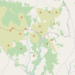
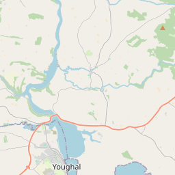
Based on data in OpenStreetMap, here is a list of townlands in the Electoral Division / ED / District Electoral Division of Ballyhane.
Ballyhane is in Co.
Ballyhane is not matched up to Logainm.ie yet.
Léarscáil
It is located at 52° 8' 17" N, 7° 48' 20" W.


Leaflet | Map data © OpenStreetMap contributors
Achar
Ballyhane has an area of 18.5 km² / 4,563.6 acres / 7.1 square miles.
Ceannbhailte
There are 24 townlands that we know about in . This represents 100.0% of all the area in .
- Baile Uí Fheacháin 409 A, 1 R, 3 P
- An Bán Fionn 190 A, 0 R, 5 P
- Belleville 135 A, 0 R, 33 P
- Bewley 302 A, 0 R, 6 P
- Clashnadarriv 141 A, 1 R, 15 P
- Cúil Fhlaithnín 144 A, 1 R, 29 P
- Cruithneachtán Thoir 186 A, 2 R, 1 P
- Cruithneachtán Thiar 192 A, 1 R, 30 P
- Drumroe 243 A, 1 R, 24 P
- Cill Doirchín 135 A, 1 R, 12 P
- Cnoc an Chrónáin 51 A, 2 R, 5 P
- Knocklahara 507 A, 0 R, 16 P
- Cnoc Uí Uallacháin 155 A, 2 R, 33 P
- An Leacain 170 A, 0 R, 38 P
- An Leacain Réidh 185 A, 2 R, 4 P
- An Muine Gorm 156 A, 3 R, 38 P
- An Muine Gorm Thoir 253 A, 3 R, 25 P
- An Muine Gorm Thiar 183 A, 3 R, 4 P
- An Poll Báite 280 A, 0 R, 25 P
- An Cheathrú 80 A, 2 R, 23 P
- An Seisceann 151 A, 3 R, 25 P
- An Slogaire 135 A, 2 R, 11 P
- Gort na Tiobraide 75 A, 2 R, 39 P
- Faiche na Gréine 93 A, 2 R, 37 P
 OpenStreetMap
Ballyhane was added to OpenStreetMap on 12 Samh 2016 by Teester.
- View
- Edit

 JOSM
JOSM iD
iD