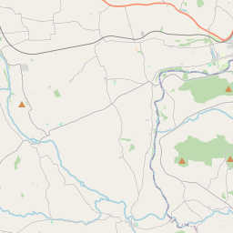
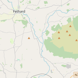
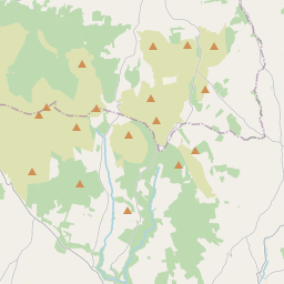
Based on data in OpenStreetMap, here is a list of townlands in the Electoral Division / ED / District Electoral Division of Ballymacarbry.
Ballymacarbry is in Co.
Ballymacarbry is not matched up to Logainm.ie yet.
Léarscáil
It is located at 52° 17' 17" N, 7° 44' 16" W.


Leaflet | Map data © OpenStreetMap contributors
Achar
Ballymacarbry has an area of 25.6 km² / 6,329.2 acres / 9.9 square miles.
Ceannbhailte
There are 18 townlands that we know about in . This represents 100% of all the area in .
- Ard Pháidín 172 A, 2 R, 13 P
- Baile Uí Dhonnchú 463 A, 2 R, 27 P
- Baile Mhac Cairbre 906 A, 2 R, 32 P
- Baile Mhic Shíthigh 348 A, 0 R, 12 P
- An Bán Fionn 630 A, 3 R, 12 P
- Buaile Bhriain Íochtarach 324 A, 3 R, 29 P
- Buaile Bhriain Uachtarach 576 A, 1 R, 17 P
- Ceathrú an Chaisleáin 73 A, 2 R, 9 P
- An Cloichín 288 A, 1 R, 21 P
- Cluain na nDamh 319 A, 3 R, 7 P
- Curraichín an Bhóthair 413 A, 2 R, 2 P
- An Ghlaise 351 A, 3 R, 18 P
- Cnoc an Lisín 568 A, 3 R, 26 P
- Sailchín 392 A, 1 R, 14 P
- An Cheathrú Bheag 68 A, 3 R, 26 P
- Tuar an Lá 135 A, 1 R, 25 P
- Ceathrú an Tí Bháin 64 A, 3 R, 32 P
- An Inse Chaol 228 A, 1 R, 26 P
 OpenStreetMap
Ballymacarbry was added to OpenStreetMap on 12 Samh 2016 by Teester.
- View
- Edit

 JOSM
JOSM iD
iD