Based on data in OpenStreetMap, here is a list of townlands in the Electoral Division / ED / District Electoral Division of Clashmore.
Clashmore is in Co.
Clashmore is not matched up to Logainm.ie yet.
Léarscáil
It is located at 52° 1' 20" N, 7° 48' 50" W.
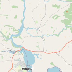
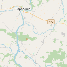
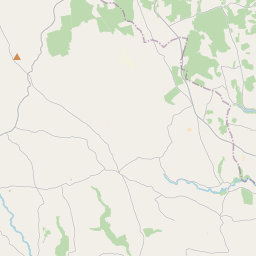
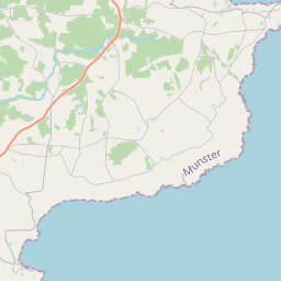
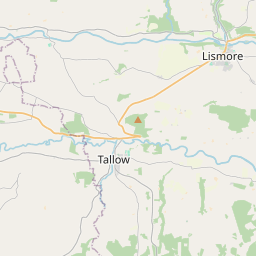
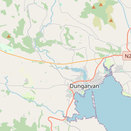
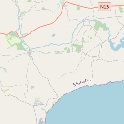
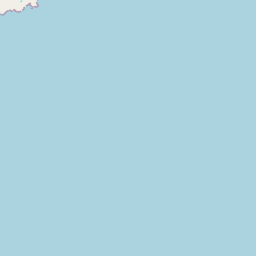
Leaflet | Map data © OpenStreetMap contributors
Achar
Clashmore has an area of 18.6 km² / 4,600.6 acres / 7.2 square miles.
Ceannbhailte
There are 14 townlands that we know about in . This represents 98.3% of all the area in .
- Abartach 34 A, 2 R, 23 P
- Baile an Droma 239 A, 3 R, 28 P
- Baile an Iúir 77 A, 3 R, 7 P
- Baile na Claise 290 A, 2 R, 25 P
- Baile na Moiltineach 540 A, 3 R, 37 P
- Clais Mhór 556 A, 3 R, 31 P
- Cúil Bheitheach 734 A, 1 R, 5 P
- Cúil Bua 215 A, 3 R, 29 P
- Na Creaga 323 A, 3 R, 27 P
- Cill Ghiriam 601 A, 1 R, 0 P
- Cill Mhór 103 A, 3 R, 26 P
- Cnocán Phiarais 660 A, 2 R, 33 P
- Cnoc an Uisce 73 A, 3 R, 33 P
- An Leaca Mhór 66 A, 2 R, 3 P
 OpenStreetMap
Clashmore was added to OpenStreetMap on 14 Samh 2016 by Teester.
- View
- Edit