Based on data in OpenStreetMap, here is a list of townlands in the Electoral Division / ED / District Electoral Division of Coumaraglin.
Coumaraglin is in Co.
Coumaraglin is not matched up to Logainm.ie yet.
Léarscáil
It is located at 52° 11' 33" N, 7° 38' 7" W.
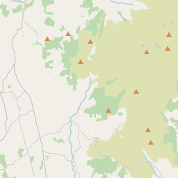
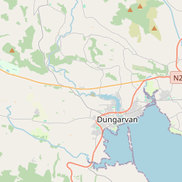
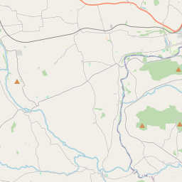
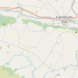
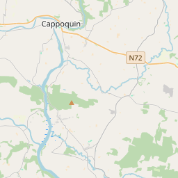
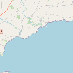
Leaflet | Map data © OpenStreetMap contributors
Achar
Coumaraglin has an area of 28.1 km² / 6,932.7 acres / 10.8 square miles.
Ceannbhailte
There are 12 townlands that we know about in . This represents 100% of all the area in .
- Baile na Coille 437 A, 0 R, 22 P
- Barr Craí 376 A, 2 R, 12 P
- Sliabh Bharr Craí Íochtarach 423 A, 3 R, 27 P
- Barracreemountain Upper 574 A, 1 R, 11 P
- Coumaraghlinmountain 2475 A, 3 R, 24 P
- Cill Bhriain Íochtarach 273 A, 3 R, 21 P
- Cill Bhriain Uachtarach 464 A, 3 R, 2 P
- Lackandarra 220 A, 1 R, 22 P
- Lackandarra Lower 585 A, 0 R, 9 P
- Lackandarra Upper 386 A, 0 R, 31 P
- Scairt na Draighní 182 A, 3 R, 9 P
- Barr na Scairte 531 A, 2 R, 37 P
 OpenStreetMap
Coumaraglin was added to OpenStreetMap on 14 Samh 2016 by Teester.
- View
- Edit