Based on data in OpenStreetMap, here is a list of townlands in the Electoral Division / ED / District Electoral Division of Mothel.
Mothel is in Co.
Mothel is not matched up to Logainm.ie yet.
Léarscáil
It is located at 52° 18' 17" N, 7° 26' 0" W.
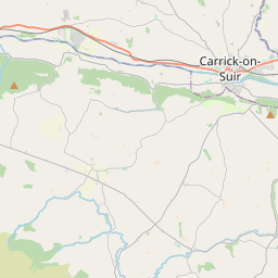
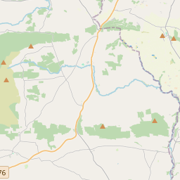
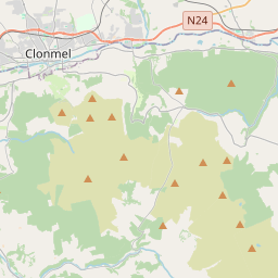
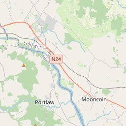
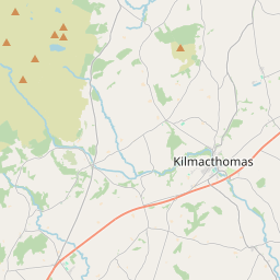
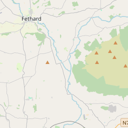
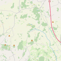
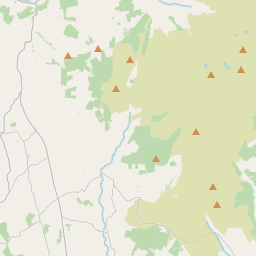
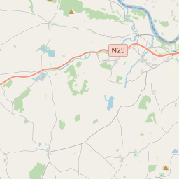
Leaflet | Map data © OpenStreetMap contributors
Achar
Mothel has an area of 20.9 km² / 5,169.9 acres / 8.1 square miles.
Ceannbhailte
There are 13 townlands that we know about in . This represents 100% of all the area in .
- Baile an Aba 256 A, 2 R, 14 P
- Baile Ghearóid 129 A, 3 R, 5 P
- Baile Hoiste 137 A, 2 R, 35 P
- Baile an Chnoic 486 A, 0 R, 27 P
- Baile na Cora 539 A, 2 R, 19 P
- Baile Uí Chnáimhín 699 A, 3 R, 31 P
- Ballyslough 165 A, 3 R, 36 P
- Coill an Easpaig 595 A, 0 R, 26 P
- An Chúil Rua 216 A, 2 R, 18 P
- An Chorr Dhubh 392 A, 2 R, 21 P
- Na Feadáin 718 A, 2 R, 24 P
- Maothail 257 A, 3 R, 35 P
- An tSeanghráinseach 573 A, 0 R, 1 P
 OpenStreetMap
Mothel was added to OpenStreetMap on 26 Samh 2016 by Teester.
- View
- Edit