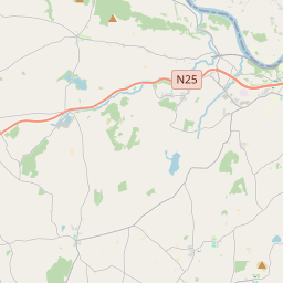
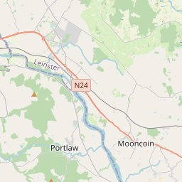
Based on data in OpenStreetMap, here is a list of townlands in the Electoral Division / ED / District Electoral Division of Reisk.
Reisk is in Co.
Reisk is not matched up to Logainm.ie yet.
Léarscáil
It is located at 52° 12' 12" N, 7° 14' 12" W.


Leaflet | Map data © OpenStreetMap contributors
Achar
Reisk has an area of 26.1 km² / 6,459.0 acres / 10.1 square miles.
Ceannbhailte
There are 25 townlands that we know about in . This represents 99.6% of all the area in .
- Adamstown 341 A, 0 R, 13 P
- Ard na hUaighe 204 A, 3 R, 20 P
- Baile Uí Bhreannóig 353 A, 2 R, 2 P
- Baile an Chradógaigh 347 A, 2 R, 15 P
- Baile Dhiarmada 310 A, 0 R, 33 P
- Móin Bhaile Dhiarmada 110 A, 3 R, 19 P
- Baile an Gharráin 223 A, 1 R, 8 P
- Baile Eileagóid 162 A, 2 R, 27 P
- Baile an Mhóta 283 A, 2 R, 1 P
- Baile Mhuiris 202 A, 2 R, 22 P
- Baile Mhiolúin 123 A, 2 R, 5 P
- Blackknock 301 A, 3 R, 19 P
- Dooneen 152 A, 1 R, 11 P
- Dunhill Lodge 64 A, 2 R, 16 P
- Garrickadustara 222 A, 3 R, 26 P
- Cill Eoghain 296 A, 0 R, 13 P
- Knockanage 154 A, 3 R, 25 P
- Lios na Cille 200 A, 2 R, 21 P
- Loughdeeheen 728 A, 3 R, 16 P
- Baile Mhaithiais 179 A, 1 R, 2 P
- Mountcongreve 189 A, 2 R, 37 P
- Powersknock 280 A, 0 R, 21 P
- Raheens 555 A, 1 R, 37 P
- Baile an Fhuitialaigh Thuaidh 331 A, 2 R, 38 P
- Baile an Fhuitialaigh Theas 107 A, 2 R, 21 P
 OpenStreetMap
Reisk was added to OpenStreetMap on 26 Samh 2016 by Teester.
- View
- Edit

 JOSM
JOSM iD
iD