Based on data in OpenStreetMap, here is a list of townlands in the Electoral Division / ED / District Electoral Division of Tramore.
Tramore is in Co.
Tramore is not matched up to Logainm.ie yet.
Léarscáil
It is located at 52° 11' 1" N, 7° 8' 58" W.
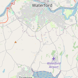
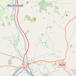
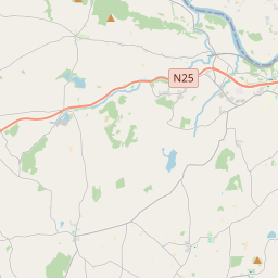
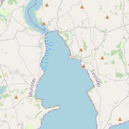
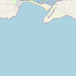
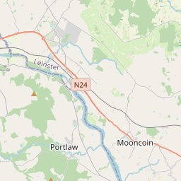
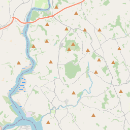
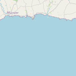
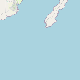
Leaflet | Map data © OpenStreetMap contributors
Achar
Tramore has an area of 17.6 km² / 4,338.8 acres / 6.8 square miles.
Ceannbhailte
There are 17 townlands that we know about in . This represents 100% of all the area in .
- Baile an Charnáin 227 A, 2 R, 13 P
- Baile Uí Dhrisleáin 283 A, 0 R, 32 P
- Carraig an Longaigh 265 A, 3 R, 0 P
- Cruabhaile Íochtarach 58 A, 0 R, 3 P
- Cruabhaile Uachtarach 469 A, 1 R, 14 P
- Cill Bhríde Thuaidh 228 A, 2 R, 27 P
- Cill Bhríde Theas 230 A, 1 R, 19 P
- An Cnoicín 878 A, 3 R, 7 P
- Lios Dúgáin 57 A, 2 R, 7 P
- An Mhóin Lom 46 A, 1 R, 15 P
- An Mhóin Bhuí 246 A, 1 R, 8 P
- Móin Mhothóige 297 A, 3 R, 19 P
- Baile an Phiocardaigh 236 A, 2 R, 27 P
- An Dumhach 426 A, 0 R, 38 P
- Trá Mhór Thoir 154 A, 1 R, 4 P
- Ionghabháil Thrá Mhór 46 A, 0 R, 28 P
- Trá Mhór Thiar 185 A, 2 R, 10 P
 OpenStreetMap
Tramore was added to OpenStreetMap on 26 Samh 2016 by Teester.
- View
- Edit