Based on data in OpenStreetMap, here is a list of townlands in the Electoral Division / ED / District Electoral Division of Doonis.
Doonis is in Co.
Doonis is not matched up to Logainm.ie yet.
Léarscáil
It is located at 53° 31' 31" N, 7° 49' 46" W.
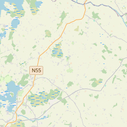
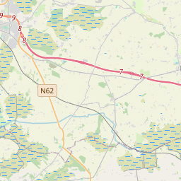
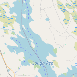
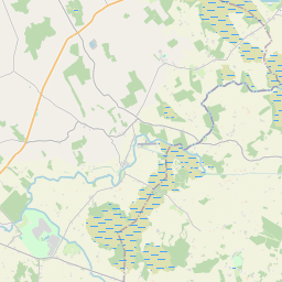
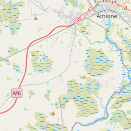
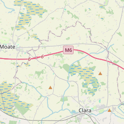
Leaflet | Map data © OpenStreetMap contributors
Achar
Doonis has an area of 15.4 km² / 3,817.4 acres / 6.0 square miles.
Ceannbhailte
There are 14 townlands that we know about in . This represents 96.8% of all the area in .
- Bawn 54 A, 0 R, 20 P
- Brackagh 47 A, 1 R, 23 P
- Baile an Chaonóraigh (Chapman) 67 A, 1 R, 28 P
- Baile an Chaonóraigh (Hogan) 45 A, 1 R, 3 P
- Carrick 173 A, 2 R, 13 P
- Cartroncroy 247 A, 1 R, 9 P
- Clonkeen 554 A, 1 R, 34 P
- Corlis 54 A, 0 R, 24 P
- Creggy 371 A, 0 R, 1 P
- Dún Aonghasa 850 A, 2 R, 6 P
- Kippin 104 A, 1 R, 29 P
- Lisdossan 456 A, 1 R, 15 P
- Littletown 258 A, 3 R, 18 P
- Maghera 408 A, 2 R, 27 P
 OpenStreetMap
Doonis was added to OpenStreetMap on 6 Feabh 2017 by Teester.
- View
- Edit