Based on data in OpenStreetMap, here is a list of townlands in the Electoral Division / ED / District Electoral Division of Rathowen.
Rathowen is in Co.
Rathowen is not matched up to Logainm.ie yet.
Léarscáil
It is located at 53° 39' 46" N, 7° 31' 37" W.
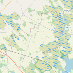
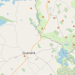
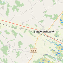
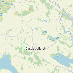
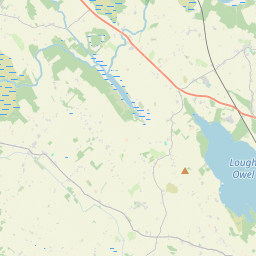

Leaflet | Map data © OpenStreetMap contributors
Achar
Rathowen has an area of 15.7 km² / 3,873.5 acres / 6.1 square miles.
Ceannbhailte
There are 18 townlands that we know about in . This represents 100% of all the area in .
- Ballydorey 60 A, 2 R, 12 P
- Ballygarran 146 A, 2 R, 14 P
- Barratogher 169 A, 0 R, 27 P
- Corrydonnellan 364 A, 3 R, 30 P
- Doire Dhubháin Íochtarach 437 A, 3 R, 2 P
- Doire Dhubháin Láir 292 A, 1 R, 17 P
- Doire Dhubháin Uachtarach 152 A, 1 R, 26 P
- Loughanstown 154 A, 3 R, 33 P
- Loughanstown Lower or Slievelahan 143 A, 3 R, 26 P
- Newpass Demesne 132 A, 3 R, 33 P
- Rath 646 A, 3 R, 25 P
- Ráth Eoghain 308 A, 3 R, 11 P
- Ráth Eoghain 59 A, 3 R, 4 P
- Rathowen (Edward) 91 A, 2 R, 32 P
- An Rosach 239 A, 1 R, 0 P
- Windtown 166 A, 1 R, 9 P
- Windtown North 114 A, 1 R, 6 P
- Windtown South 190 A, 3 R, 11 P
 OpenStreetMap
Rathowen was added to OpenStreetMap on 7 Feabh 2017 by Teester.
- View
- Edit