Based on data in OpenStreetMap, here is a list of townlands in the Electoral Division / ED / District Electoral Division of Russellstown.
Russellstown is in Co.
Russellstown is not matched up to Logainm.ie yet.
Léarscáil
It is located at 53° 29' 15" N, 7° 17' 6" W.

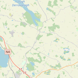
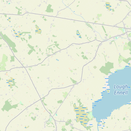
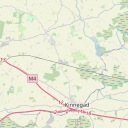
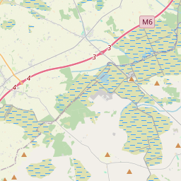
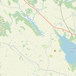

Leaflet | Map data © OpenStreetMap contributors
Achar
Russellstown has an area of 14.0 km² / 3,455.9 acres / 5.4 square miles.
Ceannbhailte
There are 14 townlands that we know about in . This represents 100% of all the area in .
- Ardillon 69 A, 0 R, 19 P
- Burnellstown 140 A, 1 R, 3 P
- Cartronganny 191 A, 1 R, 24 P
- Catherinestown 668 A, 0 R, 0 P
- Clonmoyle 19 A, 0 R, 24 P
- Clownstown 248 A, 0 R, 25 P
- Corbally 227 A, 3 R, 1 P
- Glendevine 153 A, 0 R, 22 P
- Plodstown 52 A, 1 R, 26 P
- Baile an Ruiséalaigh 455 A, 0 R, 4 P
- Baile an Ruiséalaigh Beag 37 A, 2 R, 35 P
- Tornanstown 131 A, 0 R, 24 P
- Vilanstown 599 A, 3 R, 35 P
- Windtown 462 A, 2 R, 17 P
 OpenStreetMap
Russellstown was added to OpenStreetMap on 6 Feabh 2017 by Teester.
- View
- Edit