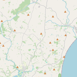
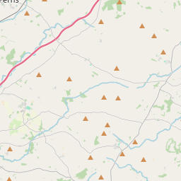
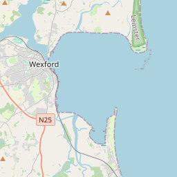
Based on data in OpenStreetMap, here is a list of townlands in the Electoral Division / ED / District Electoral Division of Ardcolm.
Ardcolm is in Co.
Ardcolm is not matched up to Logainm.ie yet.
Léarscáil
It is located at 52° 23' 10" N, 6° 23' 16" W.


Leaflet | Map data © OpenStreetMap contributors
Achar
Ardcolm has an area of 22.9 km² / 5,658.2 acres / 8.8 square miles.
Ceannbhailte
There are 21 townlands that we know about in . This represents 100% of all the area in .
- Bealach an Bhlácaigh 205 A, 3 R, 7 P
- Ballina 113 A, 0 R, 29 P
- Baile na Cúile Beag 82 A, 2 R, 17 P
- Baile na Cúile Mór 138 A, 1 R, 29 P
- Baile na Murbhach 159 A, 1 R, 0 P
- Ballinesker 137 A, 3 R, 29 P
- Ballinra 25 A, 3 R, 21 P
- Ballinrooaun 228 A, 3 R, 20 P
- Ballyheige 248 A, 0 R, 28 P
- Ballyhowbeg 74 A, 2 R, 22 P
- Ballylemin 69 A, 1 R, 7 P
- Ballymore 229 A, 2 R, 21 P
- Barr na hEasca 160 A, 0 R, 4 P
- Cúil Raithní 178 A, 2 R, 5 P
- Currach Cló 197 A, 3 R, 5 P
- Garraí Ghiobúin 123 A, 3 R, 1 P
- Glebe 33 A, 1 R, 23 P
- Gleann Bothach 211 A, 1 R, 9 P
- Cill Mochua 631 A, 2 R, 11 P
- North East Slob 1500 A, 2 R, 11 P
- Rámhainn 907 A, 2 R, 10 P
 OpenStreetMap
Ardcolm was added to OpenStreetMap on 7 Dfómh 2016 by Teester.
- View
- Edit

 JOSM
JOSM iD
iD