Based on data in OpenStreetMap, here is a list of townlands in the Electoral Division / ED / District Electoral Division of Clonroche.
Clonroche is in Co.
Clonroche is not matched up to Logainm.ie yet.
Léarscáil
It is located at 52° 26' 31" N, 6° 44' 16" W.
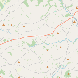
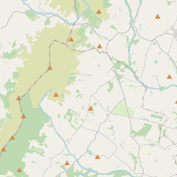
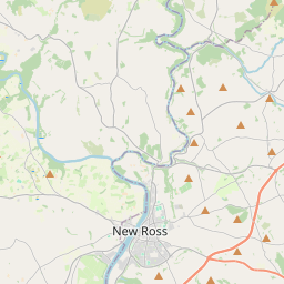
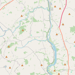
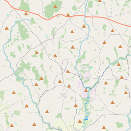
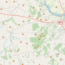
Leaflet | Map data © OpenStreetMap contributors
Achar
Clonroche has an area of 32.8 km² / 8,115.7 acres / 12.7 square miles.
Ceannbhailte
There are 13 townlands that we know about in . This represents 100% of all the area in .
- Baile Uí Mhacasa 523 A, 0 R, 19 P
- An Séipéal 752 A, 1 R, 23 P
- Cluain an Róistigh 770 A, 3 R, 8 P
- Cúil na Con 360 A, 1 R, 22 P
- An Chúil Rua 334 A, 0 R, 22 P
- An Fhoraois 194 A, 3 R, 20 P
- Cill Eignigh 1016 A, 3 R, 12 P
- Baile an Chnocaigh 560 A, 0 R, 20 P
- Poll Péiste 360 A, 2 R, 5 P
- An Ráithín 509 A, 2 R, 6 P
- Ráth Thoirtín 1008 A, 2 R, 1 P
- Tuaim Fearna 702 A, 1 R, 8 P
- Tuaim an Iarla 1022 A, 0 R, 23 P
 OpenStreetMap
Clonroche was added to OpenStreetMap on 12 Dfómh 2016 by Teester.
- View
- Edit