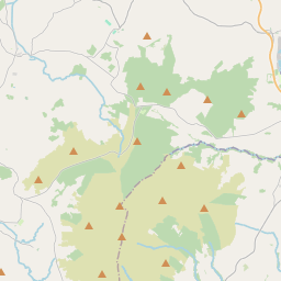
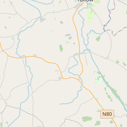
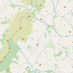
Based on data in OpenStreetMap, here is a list of townlands in the Electoral Division / ED / District Electoral Division of St. Mary's.
St. Mary's is in Co.
St. Mary's is not matched up to Logainm.ie yet.
Léarscáil
It is located at 52° 37' 14" N, 6° 41' 50" W.


Leaflet | Map data © OpenStreetMap contributors
Achar
St. Mary's has an area of 24.9 km² / 6,152.1 acres / 9.6 square miles.
Ceannbhailte
There are 14 townlands that we know about in . This represents 100% of all the area in .
- Buaile Philib 441 A, 3 R, 10 P
- An Bhuaile Chríon 34 A, 0 R, 30 P
- Buaile na bhForcrann 376 A, 2 R, 36 P
- Céim Thaidhg 227 A, 1 R, 26 P
- An Caiseal 108 A, 0 R, 38 P
- Cluain Uí Bhraoin 204 A, 1 R, 34 P
- An Corrán Mór 1617 A, 3 R, 30 P
- An Chromóg 592 A, 0 R, 21 P
- Glas Leacan 237 A, 1 R, 11 P
- Goirtín Philib 881 A, 1 R, 29 P
- Coill an Iúir 249 A, 1 R, 12 P
- An Choill 366 A, 0 R, 16 P
- Maighean Uí Dheoráin 487 A, 2 R, 14 P
- Mullán na Sméar 327 A, 1 R, 16 P
 OpenStreetMap
St. Mary's was added to OpenStreetMap on 16 Dfómh 2016 by Teester.
- View
- Edit

 JOSM
JOSM iD
iD