Based on data in OpenStreetMap, here is a list of townlands in the Electoral Division / ED / District Electoral Division of The Leap.
The Leap is in Co.
The Leap is not matched up to Logainm.ie yet.
Léarscáil
It is located at 52° 28' 42" N, 6° 38' 52" W.
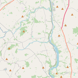
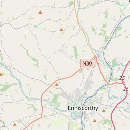
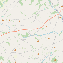
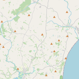
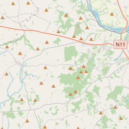
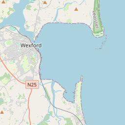
Leaflet | Map data © OpenStreetMap contributors
Achar
The Leap has an area of 26.7 km² / 6,595.7 acres / 10.3 square miles.
Ceannbhailte
There are 18 townlands that we know about in . This represents 100% of all the area in .
- Easca na Fearna 122 A, 2 R, 0 P
- Baile Aidín 771 A, 0 R, 22 P
- Baile Ghiolsnaí 314 A, 1 R, 25 P
- Baile an Chnocáin 80 A, 1 R, 34 P
- An Bhuaile Bhán 783 A, 1 R, 27 P
- Cloch Chasaigh 265 A, 3 R, 36 P
- Cúil Uí Mhuirithe 420 A, 2 R, 2 P
- Davidstown (E.D. The Leap) 291 A, 0 R, 0 P
- Doireánach 400 A, 1 R, 22 P
- Dún Soinneán 226 A, 3 R, 28 P
- Garr 120 A, 2 R, 28 P
- Baile Shéamais 117 A, 3 R, 34 P
- Moing na hUidhre 289 A, 1 R, 36 P
- Moing an Hóraigh 322 A, 0 R, 18 P
- Moing an Tuicéaraigh 713 A, 3 R, 2 P
- Ráth an Iúir 265 A, 1 R, 27 P
- Teampall Scuaibe 882 A, 0 R, 0 P
- Tobar Óna 207 A, 2 R, 0 P
 OpenStreetMap
The Leap was added to OpenStreetMap on 17 Dfómh 2016 by Teester.
- View
- Edit