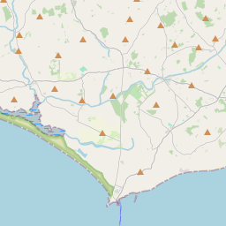
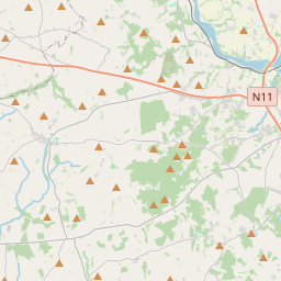
Based on data in OpenStreetMap, here is a list of townlands in the Electoral Division / ED / District Electoral Division of Tomhaggard.
Tomhaggard is in Co.
Tomhaggard is not matched up to Logainm.ie yet.
Léarscáil
It is located at 52° 12' 39" N, 6° 29' 5" W.


Leaflet | Map data © OpenStreetMap contributors
Achar
Tomhaggard has an area of 19.9 km² / 4,921.5 acres / 7.7 square miles.
Ceannbhailte
There are 36 townlands that we know about in . This represents 80.0% of all the area in .
- Oileán an Bhealaigh 113 A, 0 R, 0 P
- Coinicéar an Bhealaigh 33 A, 1 R, 21 P
- Ballyboher 104 A, 0 R, 9 P
- Baile Uí Bhuaigh 150 A, 1 R, 26 P
- Ballygullick 107 A, 1 R, 27 P
- Droichead Ó Bairrche 64 A, 1 R, 29 P
- Butlerstown (E.D. Tomhaggard) 146 A, 2 R, 20 P
- Churchtown (E.D. Tomhaggard) 91 A, 3 R, 29 P
- Baile Chúisín 231 A, 3 R, 19 P
- Crois Chaoil 156 A, 2 R, 37 P
- Baile Seint 148 A, 1 R, 36 P
- Gráig Aoileach 129 A, 3 R, 33 P
- Grange (E.D. Tomhaggard) 163 A, 2 R, 29 P
- Gráig Roibín 242 A, 3 R, 11 P
- Knockhowlin 119 A, 0 R, 21 P
- Na Cnoic 109 A, 2 R, 2 P
- Lingstown Lower 61 A, 3 R, 17 P
- Lingstown Upper 73 A, 2 R, 34 P
- Baile Línse 172 A, 3 R, 4 P
- An Droichead Beag 108 A, 2 R, 9 P
- An Baile Beag 90 A, 3 R, 17 P
- Moortown Great (E.D. Tomhaggard) 232 A, 1 R, 6 P
- Moortown Little (E.D. Tomhaggard) 119 A, 3 R, 22 P
- Móin Phoill 181 A, 3 R, 5 P
- Coinicéar Mhóin Phoill 21 A, 1 R, 27 P
- An Teach Nua 49 A, 2 R, 5 P
- An Seanbhaile 35 A, 0 R, 13 P
- Paradise 57 A, 1 R, 31 P
- Paradise Little 5 A, 1 R, 33 P
- Bóthar an Phluda 24 A, 1 R, 13 P
- Ráth an Gheadáin 75 A, 0 R, 37 P
- Baile Stapail 19 A, 2 R, 10 P
- Deich nAcra 27 A, 1 R, 3 P
- Tulach Dhamháin 160 A, 2 R, 25 P
- Teach Moshagard 230 A, 1 R, 37 P
- Walshestown (E.D. Tomhaggard) 76 A, 0 R, 19 P
 OpenStreetMap
Tomhaggard was added to OpenStreetMap on 17 Dfómh 2016 by Teester.
- View
- Edit

 JOSM
JOSM iD
iD