Based on data in OpenStreetMap, here is a list of townlands in the Electoral Division / ED / District Electoral Division of Hartstown.
Hartstown is in Co.
Hartstown is not matched up to Logainm.ie yet.
Léarscáil
It is located at 52° 58' 18" N, 6° 45' 17" W.
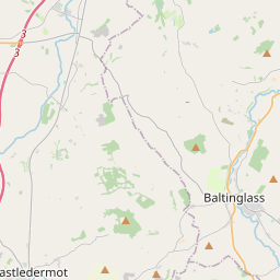
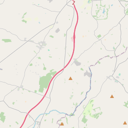
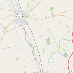
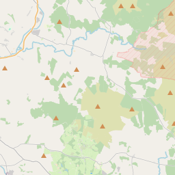
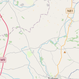
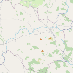
Leaflet | Map data © OpenStreetMap contributors
Achar
Hartstown has an area of 14.6 km² / 3,598.0 acres / 5.6 square miles.
Ceannbhailte
There are 13 townlands that we know about in . This represents 100% of all the area in .
- Ballycore 267 A, 3 R, 10 P
- Baronstown Lower 235 A, 3 R, 31 P
- Baronstown Upper 276 A, 2 R, 3 P
- Glennacanon 270 A, 2 R, 15 P
- Baile an Hartaigh 217 A, 1 R, 14 P
- Knockanreagh 223 A, 3 R, 26 P
- Lackareagh 339 A, 0 R, 37 P
- Monatore 210 A, 3 R, 39 P
- Moneymore 405 A, 2 R, 32 P
- An Seanbhaile 215 A, 1 R, 37 P
- Ráth Tuathail 424 A, 3 R, 36 P
- Tinoranhill North 251 A, 1 R, 14 P
- Tinoranhill South 258 A, 0 R, 15 P
 OpenStreetMap
Hartstown was added to OpenStreetMap on 1 Dfómh 2016 by Teester.
- View
- Edit