Based on data in OpenStreetMap, here is a list of townlands in the Electoral Division / ED / District Electoral Division of Tuckmill.
Tuckmill is in Co.
Tuckmill is not matched up to Logainm.ie yet.
Léarscáil
It is located at 52° 58' 9" N, 6° 41' 5" W.
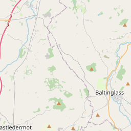
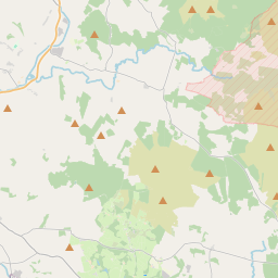
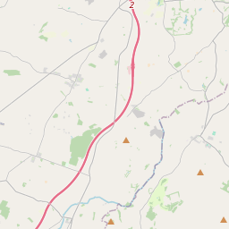
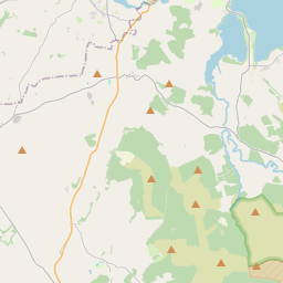
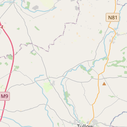
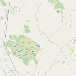
Leaflet | Map data © OpenStreetMap contributors
Achar
Tuckmill has an area of 11.6 km² / 2,865.3 acres / 4.5 square miles.
Ceannbhailte
There are 11 townlands that we know about in . This represents 100% of all the area in .
- Baile na Croiche Íochtarach 333 A, 3 R, 31 P
- Baile na Croiche Uachtarach 259 A, 0 R, 31 P
- Eadstown Middle 246 A, 1 R, 14 P
- Gibralter 237 A, 0 R, 9 P
- Goldenfort 365 A, 0 R, 12 P
- Mattymount 127 A, 2 R, 39 P
- Saundersgrove 206 A, 1 R, 5 P
- Saundersgrove Hill 196 A, 0 R, 27 P
- Tuckmill Hill 225 A, 1 R, 35 P
- An Muileann Úctha Íochtarach 276 A, 1 R, 3 P
- An Muileann Úctha Uachtarach 391 A, 2 R, 32 P
 OpenStreetMap
Tuckmill was added to OpenStreetMap on 5 Dfómh 2016 by Teester.
- View
- Edit