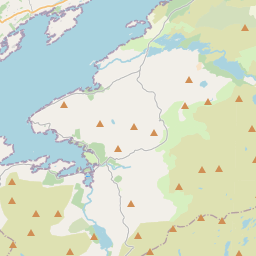
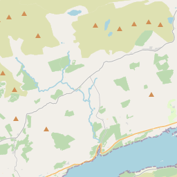
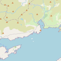
Based on data in OpenStreetMap, here is a list of townlands in the Electoral Division / ED / District Electoral Division of Ardea.
Ardea is in Co.
Ardea is not matched up to Logainm.ie yet.
Map
It is located at 51° 47' 26" N, 9° 44' 49" W.


Leaflet | Map data © OpenStreetMap contributors
Area
Ardea has an area of 34.2 km² / 8,461.7 acres / 13.2 square miles.
Townlands
There are 18 townlands that we know about in . This represents 100% of all the area in .
- Ardea 683 A, 3 R, 11 P
- Canfee 195 A, 0 R, 16 P
- Cummers East 389 A, 2 R, 32 P
- Cummers West 229 A, 3 R, 25 P
- Derreen 285 A, 3 R, 8 P
- Derreenatlooig 214 A, 1 R, 33 P
- Derryconnery 403 A, 0 R, 6 P
- Derrylough 792 A, 3 R, 25 P
- Derryrush 227 A, 3 R, 24 P
- Drombohilly Lower 811 A, 3 R, 25 P
- Drombohilly Upper 776 A, 3 R, 19 P
- Dromdiraowen 106 A, 0 R, 33 P
- Garranes 950 A, 0 R, 6 P
- Kilmakilloge 304 A, 3 R, 15 P
- Lehid 686 A, 2 R, 22 P
- Loughaunacreen 203 A, 2 R, 6 P
- Tragalee 103 A, 2 R, 37 P
- Uragh 1095 A, 0 R, 38 P
 OpenStreetMap
Ardea was added to OpenStreetMap on 11 Jan 2017 by Teester.
- View
- Edit

 JOSM
JOSM iD
iD