Based on data in OpenStreetMap, here is a list of townlands in the Electoral Division / ED / District Electoral Division of Cappagh.
Cappagh is in Co.
Cappagh is not matched up to Logainm.ie yet.
Map
It is located at 51° 53' 22" N, 9° 30' 58" W.
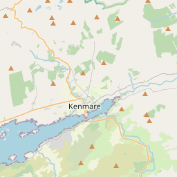
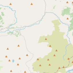
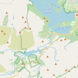
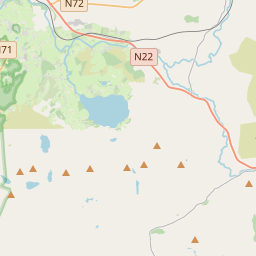
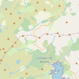
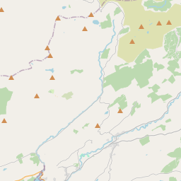
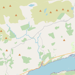
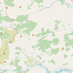
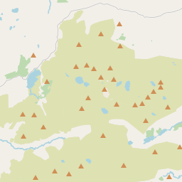
Leaflet | Map data © OpenStreetMap contributors
Area
Cappagh has an area of 40.5 km² / 10,017.5 acres / 15.7 square miles.
Townlands
There are 25 townlands that we know about in . This represents 100.0% of all the area in .
- Caher East 486 A, 2 R, 29 P
- Caher West 234 A, 0 R, 31 P
- Cappagh 387 A, 3 R, 19 P
- Cooragweanish 240 A, 2 R, 37 P
- Cummeenboy 764 A, 2 R, 2 P
- Currabeg 505 A, 3 R, 22 P
- Derreenacahill 400 A, 2 R, 24 P
- Derrylahan 577 A, 3 R, 1 P
- Doughill 414 A, 0 R, 11 P
- Dromatouk 449 A, 3 R, 19 P
- Fustane Lower 470 A, 1 R, 36 P
- Fustane Upper 239 A, 1 R, 18 P
- Gearhadiveen 390 A, 3 R, 18 P
- Gortalassa 147 A, 1 R, 23 P
- Gortalinny North 425 A, 1 R, 21 P
- Gortalinny South 244 A, 3 R, 14 P
- Gortlahard 770 A, 0 R, 8 P
- Gortnacurra 355 A, 3 R, 26 P
- Kilgortaree 416 A, 0 R, 6 P
- Kilpatrick 150 A, 0 R, 22 P
- Lackaroe 606 A, 3 R, 4 P
- Letter Lower 366 A, 3 R, 4 P
- Letter Upper 398 A, 2 R, 14 P
- Rossboy 185 A, 3 R, 20 P
- Tullig 382 A, 0 R, 21 P
 OpenStreetMap
Cappagh was added to OpenStreetMap on 11 Jan 2017 by Teester.
- View
- Edit