Based on data in OpenStreetMap, here is a list of townlands in the Electoral Division / ED / District Electoral Division of Castlegregory.
Castlegregory is in Co.
Castlegregory is not matched up to Logainm.ie yet.
Map
It is located at 52° 15' 24" N, 10° 1' 48" W.
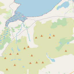
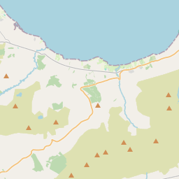
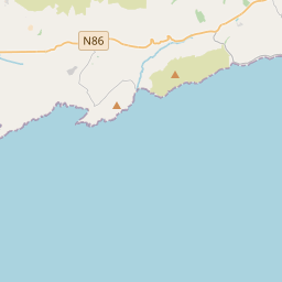
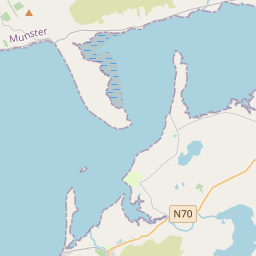
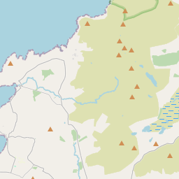
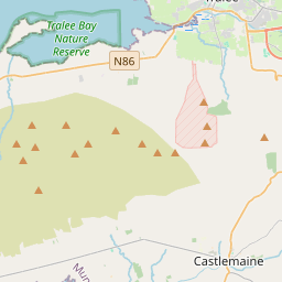
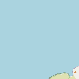
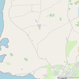
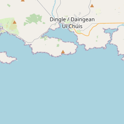
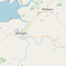
Leaflet | Map data © OpenStreetMap contributors
Area
Castlegregory has an area of 24.6 km² / 6,089.9 acres / 9.5 square miles.
Townlands
There are 28 townlands that we know about in . This represents 94.5% of all the area in .
- Arraglen 868 A, 0 R, 29 P
- Ballingowan 78 A, 3 R, 18 P
- Caher 109 A, 2 R, 0 P
- Castlegregory 275 A, 1 R, 34 P
- Cloghaneanode 534 A, 2 R, 4 P
- Cloghanesheskeen 165 A, 1 R, 2 P
- Cloosguire 97 A, 2 R, 10 P
- Coolroe 112 A, 3 R, 38 P
- Cutteen 55 A, 1 R, 0 P
- Fahamore 240 A, 3 R, 27 P
- Farrantaun 22 A, 3 R, 24 P
- Garrywilliam 88 A, 0 R, 26 P
- Gurrig Island 10 A, 3 R, 9 P
- Illaunboe 4 A, 3 R, 19 P
- Illauncaum 160 A, 3 R, 4 P
- Illaunimmil 29 A, 2 R, 3 P
- Illaunnanoon 3 A, 2 R, 3 P
- Illauntannig 42 A, 1 R, 23 P
- Inchaloughra 53 A, 2 R, 10 P
- Inishtooskert 13 A, 2 R, 3 P
- Killiney 829 A, 1 R, 20 P
- Kilshannig 482 A, 2 R, 38 P
- Loughbeg 109 A, 3 R, 18 P
- Magherabeg 765 A, 0 R, 8 P
- Martramane 141 A, 0 R, 0 P
- Reennafardarrig 7 A, 1 R, 3 P
- Tullaree 134 A, 0 R, 27 P
- Tullig 319 A, 3 R, 15 P
 OpenStreetMap
Castlegregory was added to OpenStreetMap on 22 Jun 2016 by Boggedy.
- View
- Edit