Based on data in OpenStreetMap, here is a list of townlands in the Electoral Division / ED / District Electoral Division of Dunloe.
Dunloe is in Co.
Dunloe is not matched up to Logainm.ie yet.
Map
It is located at 52° 0' 39" N, 9° 39' 4" W.
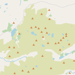
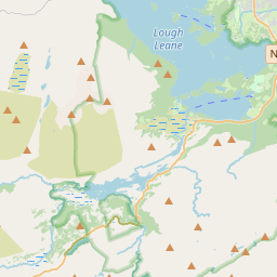
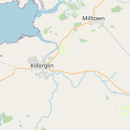
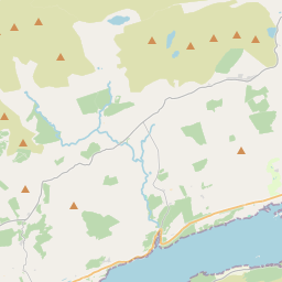
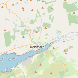
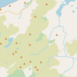
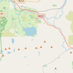
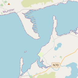
Leaflet | Map data © OpenStreetMap contributors
Area
Dunloe has an area of 41.1 km² / 10,162.0 acres / 15.9 square miles.
Townlands
There are 14 townlands that we know about in . This represents 100% of all the area in .
- Ballagh 327 A, 0 R, 22 P
- Beaufort 172 A, 0 R, 31 P
- Clydagh 105 A, 3 R, 9 P
- Coolmagort 648 A, 0 R, 3 P
- Crossderry 824 A, 2 R, 35 P
- Cullenagh Lower 173 A, 3 R, 16 P
- Cullenagh Upper 520 A, 0 R, 7 P
- Derryard 650 A, 3 R, 30 P
- Derrycarna 1445 A, 0 R, 24 P
- Derrygarriv 541 A, 0 R, 12 P
- Derrylahan 255 A, 3 R, 12 P
- Derrylea 259 A, 2 R, 11 P
- Dunloe Lower 156 A, 0 R, 23 P
- Dunloe Upper 4081 A, 2 R, 5 P
 OpenStreetMap
Dunloe was added to OpenStreetMap on 10 Jan 2017 by Teester.
- View
- Edit