Based on data in OpenStreetMap, here is a list of townlands in the Electoral Division / ED / District Electoral Division of Glanlee.
Glanlee is in Co.
Glanlee is not matched up to Logainm.ie yet.
Map
It is located at 51° 53' 3" N, 9° 21' 4" W.
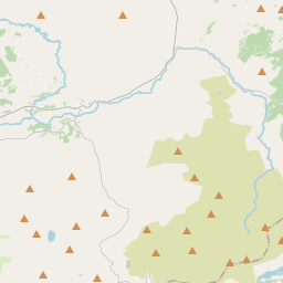
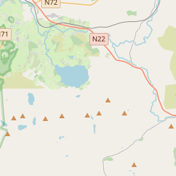
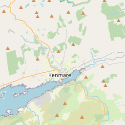
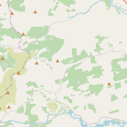
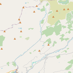
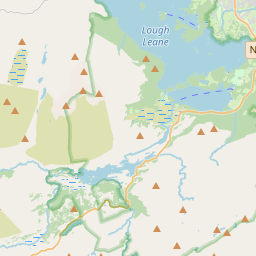
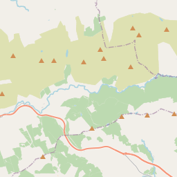
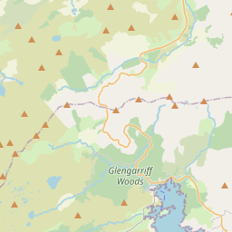
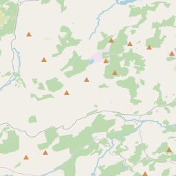
Leaflet | Map data © OpenStreetMap contributors
Area
Glanlee has an area of 61.9 km² / 15,290.1 acres / 23.9 square miles.
Townlands
There are 14 townlands that we know about in . This represents 100% of all the area in .
- Ballagh 2330 A, 2 R, 26 P
- Coolknoohil 1070 A, 3 R, 32 P
- Gortlahard 648 A, 2 R, 17 P
- Gortmarrahafineen 732 A, 2 R, 18 P
- Grousemount 1612 A, 2 R, 3 P
- Inchee 1838 A, 1 R, 3 P
- Inchimore 1004 A, 3 R, 28 P
- Inchinanagh 1735 A, 2 R, 26 P
- Kilfadda Beg 214 A, 0 R, 4 P
- Kilfadda More 430 A, 0 R, 24 P
- Lettercannon 996 A, 3 R, 8 P
- Rosseightragh 540 A, 0 R, 10 P
- Rusheen 423 A, 0 R, 2 P
- Sillahertane 1711 A, 3 R, 9 P
 OpenStreetMap
Glanlee was added to OpenStreetMap on 11 Jan 2017 by Teester.
- View
- Edit