Based on data in OpenStreetMap, here is a list of townlands in the Electoral Division / ED / District Electoral Division of Gunsborough.
Gunsborough is in Co.
Gunsborough is not matched up to Logainm.ie yet.
Map
It is located at 52° 28' 38" N, 9° 32' 4" W.
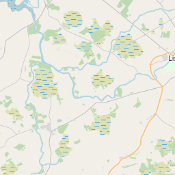
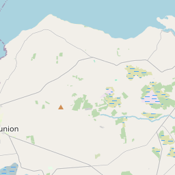
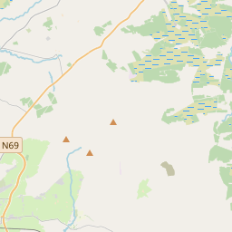
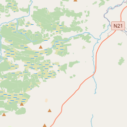
Leaflet | Map data © OpenStreetMap contributors
Area
Gunsborough has an area of 16.6 km² / 4,113.5 acres / 6.4 square miles.
Townlands
There are 15 townlands that we know about in . This represents 100% of all the area in .
- Affouley 135 A, 2 R, 22 P
- Carhoonaknock East 125 A, 3 R, 25 P
- Carhoonaknock West 67 A, 2 R, 12 P
- Coolard 333 A, 3 R, 31 P
- Coolbeha 191 A, 3 R, 6 P
- Derra West 541 A, 2 R, 25 P
- Garryard 260 A, 3 R, 7 P
- Glouria 675 A, 3 R, 24 P
- Inch East 284 A, 1 R, 38 P
- Inch Moor 366 A, 3 R, 9 P
- Inch West 210 A, 2 R, 25 P
- Knockenagh North 229 A, 0 R, 4 P
- Knockenagh South 327 A, 2 R, 36 P
- Shrone Middle 130 A, 3 R, 37 P
- Shrone West 230 A, 2 R, 16 P
 OpenStreetMap
Gunsborough was added to OpenStreetMap on 7 Jan 2017 by Teester.
- View
- Edit