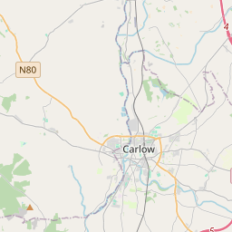
Based on data in OpenStreetMap, here is a list of townlands in the Electoral Division / ED / District Electoral Division of Athy Rural.
Athy Rural is in Co.
Athy Rural is not matched up to Logainm.ie yet.
Map
It is located at 52° 59' 39" N, 6° 58' 46" W.


Leaflet | Map data © OpenStreetMap contributors
Area
Athy Rural has an area of 34.2 km² / 8,441.5 acres / 13.2 square miles.
Townlands
There are 37 townlands that we know about in . This represents 91.1% of all the area in .
- Ardree 797 A, 2 R, 19 P
- Ballybought 49 A, 2 R, 1 P
- Ballynasculloge 79 A, 2 R, 23 P
- Barkersford 127 A, 3 R, 17 P
- Barrowford 107 A, 0 R, 33 P
- Belview 99 A, 3 R, 23 P
- Bennetsbridge 417 A, 2 R, 14 P
- Bray Lower 326 A, 3 R, 39 P
- Bray Upper 240 A, 0 R, 33 P
- Cardington 87 A, 0 R, 38 P
- Cardington Demesne 94 A, 3 R, 7 P
- Coolroe 200 A, 3 R, 17 P
- Courttown East 191 A, 2 R, 21 P
- Courttown West 126 A, 0 R, 15 P
- Forest 318 A, 0 R, 34 P
- Foxhill 575 A, 3 R, 29 P
- Gallowshill 307 A, 2 R, 16 P
- Geraldine 347 A, 0 R, 12 P
- Goulyduff 372 A, 2 R, 37 P
- Kilcoo 288 A, 0 R, 17 P
- Milltown 455 A, 1 R, 30 P
- Prusselstown 254 A, 2 R, 8 P
- Quarry 223 A, 1 R, 8 P
- Rosbran 90 A, 0 R, 7 P
- Roundhills 61 A, 0 R, 18 P
- Russellstown 201 A, 0 R, 11 P
- Salisbury 64 A, 3 R, 12 P
- Sawyerswood 208 A, 1 R, 32 P
- Shamrocklodge 25 A, 3 R, 10 P
- Shanrath 7 A, 0 R, 1 P
- Shanrath East 123 A, 2 R, 17 P
- Shanrath West 115 A, 3 R, 5 P
- Srowland 122 A, 1 R, 27 P
- Tonlegee 70 A, 2 R, 36 P
- Tullygorey 198 A, 2 R, 17 P
- Willsgrove 81 A, 3 R, 19 P
- Woodstock North 230 A, 2 R, 21 P
 OpenStreetMap
Athy Rural was added to OpenStreetMap on 30 Jan 2016 by jmkie.
- View
- Edit

 JOSM
JOSM iD
iD