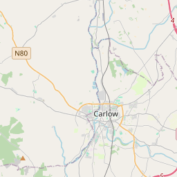
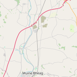
Based on data in OpenStreetMap, here is a list of townlands in the Electoral Division / ED / District Electoral Division of Castledermot.
Castledermot is in Co.
Castledermot is not matched up to Logainm.ie yet.
Map
It is located at 52° 53' 32" N, 6° 50' 20" W.


Leaflet | Map data © OpenStreetMap contributors
Area
Castledermot has an area of 19.3 km² / 4,760.1 acres / 7.4 square miles.
Townlands
There are 26 townlands that we know about in . This represents 100% of all the area in .
- Abbeyland 145 A, 2 R, 23 P
- Ballyburn Lower 367 A, 2 R, 1 P
- Ballyhade 284 A, 0 R, 26 P
- Ballyvannan 51 A, 1 R, 20 P
- Barnhill 99 A, 2 R, 2 P
- Barnhill East 120 A, 0 R, 15 P
- Barnhill West 212 A, 3 R, 2 P
- Bigbog 229 A, 2 R, 17 P
- Burtonhall Demesne 333 A, 0 R, 4 P
- Castledermot 123 A, 1 R, 33 P
- Coltstown 93 A, 3 R, 35 P
- Crophill 151 A, 1 R, 32 P
- Dairyfarm 85 A, 1 R, 4 P
- Davidstown Lower 271 A, 3 R, 16 P
- Davidstown Upper 300 A, 0 R, 30 P
- Deerpark 209 A, 0 R, 26 P
- Garterfarm 121 A, 1 R, 8 P
- Halfmiletown 23 A, 1 R, 19 P
- Knockaphuca 79 A, 0 R, 36 P
- Knockbane 110 A, 0 R, 27 P
- Knocknacree 320 A, 0 R, 34 P
- Mullarney 102 A, 0 R, 7 P
- Newtown 47 A, 0 R, 24 P
- Townparks 93 A, 2 R, 11 P
- Woodlands East 395 A, 1 R, 21 P
- Woodlands West 388 A, 2 R, 7 P
 OpenStreetMap
Castledermot was added to OpenStreetMap on 30 Jan 2016 by jmkie.
- View
- Edit

 JOSM
JOSM iD
iD