Based on data in OpenStreetMap, here is a list of townlands in the Electoral Division / ED / District Electoral Division of Scotsborough.
Scotsborough is in Co.
Scotsborough is not matched up to Logainm.ie yet.
Map
It is located at 52° 34' 35" N, 7° 25' 58" W.
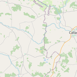


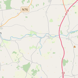
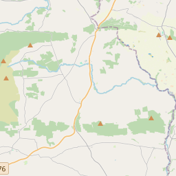
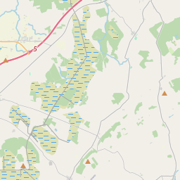

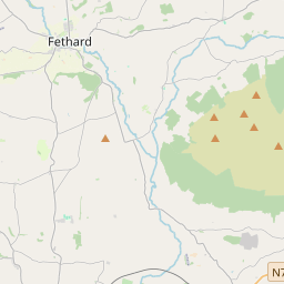
Leaflet | Map data © OpenStreetMap contributors
Area
Scotsborough has an area of 14.8 km² / 3,653.0 acres / 5.7 square miles.
Townlands
There are 16 townlands that we know about in . This represents 100% of all the area in .
- Ballybush 11 A, 0 R, 38 P
- Ballylarkin 159 A, 3 R, 8 P
- Ballyline 365 A, 3 R, 13 P
- Cappahayden 592 A, 3 R, 39 P
- Gorteennalee 63 A, 0 R, 30 P
- Gortnacurragh 15 A, 1 R, 6 P
- Killaloe 298 A, 2 R, 34 P
- Kylenaskeagh 374 A, 3 R, 38 P
- Kylevehagh Commons 83 A, 0 R, 6 P
- Lakyle 59 A, 3 R, 20 P
- Redhouse 234 A, 3 R, 9 P
- Rossmore 423 A, 1 R, 20 P
- Scotsborough 303 A, 0 R, 10 P
- Tingarran 186 A, 3 R, 24 P
- Tinnakilly 228 A, 2 R, 12 P
- Whitehouse 251 A, 1 R, 5 P
 OpenStreetMap
Scotsborough was added to OpenStreetMap on 25 Aug 2016 by Teester.
- View
- Edit