Based on data in OpenStreetMap, here is a list of townlands in the Electoral Division / ED / District Electoral Division of Blandsfort.
Blandsfort is in Co.
Blandsfort is not matched up to Logainm.ie yet.
Map
It is located at 52° 55' 2" N, 7° 15' 59" W.
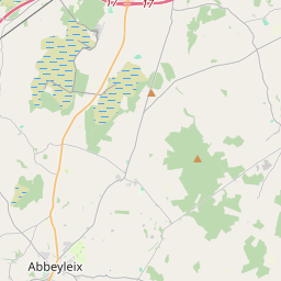
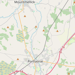
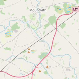
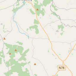
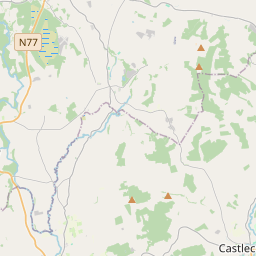
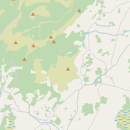
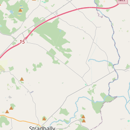
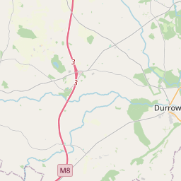
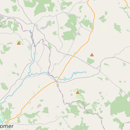
Leaflet | Map data © OpenStreetMap contributors
Area
Blandsfort has an area of 20.6 km² / 5,079.0 acres / 7.9 square miles.
Townlands
There are 15 townlands that we know about in . This represents 100% of all the area in .
- Ballyglishen 156 A, 0 R, 16 P
- Ballyking 194 A, 2 R, 12 P
- Ballypickas Lower 213 A, 1 R, 15 P
- Ballypickas Upper 299 A, 0 R, 16 P
- Boleybeg 714 A, 3 R, 8 P
- Clarbarracum 299 A, 1 R, 32 P
- Clontycoe 450 A, 1 R, 1 P
- Coole 62 A, 1 R, 18 P
- Derryfore 217 A, 1 R, 13 P
- Drumashellig 319 A, 3 R, 26 P
- Garrintaggart 289 A, 2 R, 28 P
- Graiguenasmuttan 836 A, 3 R, 39 P
- Lisnagomman 182 A, 1 R, 28 P
- Rahanavannagh 679 A, 2 R, 17 P
- Tullore 162 A, 3 R, 38 P
 OpenStreetMap
Blandsfort was added to OpenStreetMap on 16 Mar 2015 by Teester.
- View
- Edit