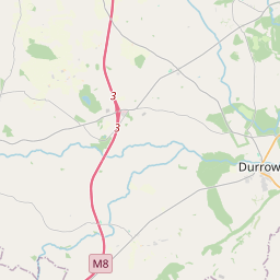
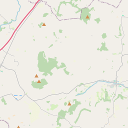
Based on data in OpenStreetMap, here is a list of townlands in the Electoral Division / ED / District Electoral Division of Cuffsborough.
Cuffsborough is in Co.
Cuffsborough is not matched up to Logainm.ie yet.
Map
It is located at 52° 54' 21" N, 7° 28' 26" W.


Leaflet | Map data © OpenStreetMap contributors
Area
Cuffsborough has an area of 19.8 km² / 4,884.7 acres / 7.6 square miles.
Townlands
There are 21 townlands that we know about in . This represents 100% of all the area in .
- Anster 39 A, 0 R, 9 P
- Ballycuddahy 231 A, 0 R, 33 P
- Ballygeehan Lower 523 A, 1 R, 13 P
- Ballygeehan Upper 400 A, 2 R, 29 P
- Ballygowdan 85 A, 0 R, 10 P
- Ballyowen 99 A, 0 R, 6 P
- Boherard 499 A, 3 R, 7 P
- Chapelhill 123 A, 3 R, 26 P
- Coolfin 50 A, 2 R, 10 P
- Cruell 209 A, 2 R, 21 P
- Cuffsborough 496 A, 0 R, 34 P
- Dairyhill 416 A, 3 R, 9 P
- Farraneglish Glebe 174 A, 2 R, 23 P
- Fearagh 81 A, 2 R, 25 P
- Gortnaclea 372 A, 2 R, 1 P
- Gortnagroagh 63 A, 0 R, 35 P
- Knockamullin 289 A, 0 R, 29 P
- Leap 74 A, 0 R, 31 P
- Legaun 76 A, 1 R, 13 P
- Springfield or Knockkyle 397 A, 2 R, 4 P
- Tinnaraheen 180 A, 0 R, 14 P
 OpenStreetMap
Cuffsborough was added to OpenStreetMap on 10 Mar 2015 by Teester.
- View
- Edit

 JOSM
JOSM iD
iD