Based on data in OpenStreetMap, here is a list of townlands in the Electoral Division / ED / District Electoral Division of Timahoe.
Timahoe is in Co.
Timahoe is not matched up to Logainm.ie yet.
Map
It is located at 52° 57' 25" N, 7° 12' 57" W.
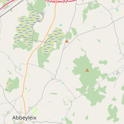
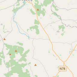
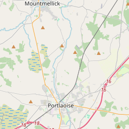
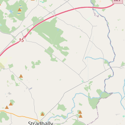
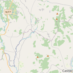
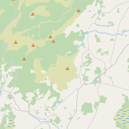
Leaflet | Map data © OpenStreetMap contributors
Area
Timahoe has an area of 25.7 km² / 6,348.5 acres / 9.9 square miles.
Townlands
There are 14 townlands that we know about in . This represents 100% of all the area in .
- Aghoney 541 A, 2 R, 15 P
- Ballinaclogh Lower 447 A, 0 R, 15 P
- Ballinaclogh Upper 417 A, 0 R, 9 P
- Ballintlea Lower 323 A, 0 R, 15 P
- Ballintlea Upper 270 A, 1 R, 7 P
- Ballygormill North 125 A, 2 R, 20 P
- Ballygormill South 257 A, 2 R, 14 P
- Coolnabacky 657 A, 0 R, 1 P
- Cremorgan 899 A, 1 R, 26 P
- Esker 273 A, 1 R, 3 P
- Garryglass 1205 A, 0 R, 13 P
- Kyle 252 A, 2 R, 1 P
- Raheenduff Little 171 A, 1 R, 6 P
- Timahoe 507 A, 2 R, 7 P
 OpenStreetMap
Timahoe was added to OpenStreetMap on 16 Mar 2015 by Teester.
- View
- Edit