Based on data in OpenStreetMap, here is a list of townlands in the Electoral Division / ED / District Electoral Division of Glenade.
Glenade is in Co.
Glenade is not matched up to Logainm.ie yet.
Map
It is located at 54° 21' 6" N, 8° 15' 52" W.
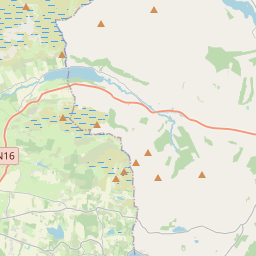
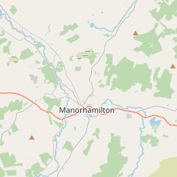
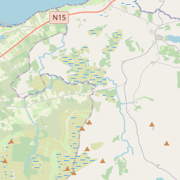
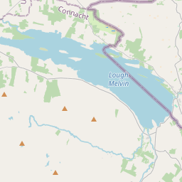
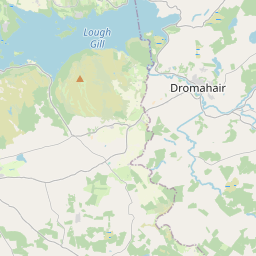
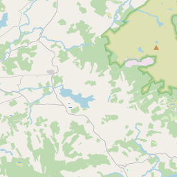
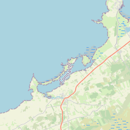
Leaflet | Map data © OpenStreetMap contributors
Area
Glenade has an area of 28.5 km² / 7,052.0 acres / 11.0 square miles.
Townlands
There are 15 townlands that we know about in . This represents 100% of all the area in .
- Barracashlaun 284 A, 0 R, 21 P
- Carrickeeny 773 A, 1 R, 21 P
- Carrickgooan 257 A, 1 R, 20 P
- Cullionboy 433 A, 1 R, 13 P
- Drumdillure 67 A, 0 R, 13 P
- Drummans 200 A, 0 R, 33 P
- Drumnacross 105 A, 3 R, 33 P
- Fenagh 397 A, 2 R, 37 P
- Glebe 511 A, 3 R, 22 P
- Gubinea 497 A, 1 R, 15 P
- Largy 1696 A, 3 R, 15 P
- Leckanarainey 850 A, 0 R, 21 P
- Shancurragh 54 A, 0 R, 12 P
- Sracleighreen 532 A, 0 R, 29 P
- Tully 390 A, 1 R, 7 P
 OpenStreetMap
Glenade was added to OpenStreetMap on 4 Nov 2015 by NoelB.
- View
- Edit