Based on data in OpenStreetMap, here is a list of townlands in the Electoral Division / ED / District Electoral Division of Garrane.
Garrane is in Co.
Garrane is not matched up to Logainm.ie yet.
Map
It is located at 52° 32' 16" N, 8° 40' 58" W.
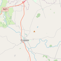
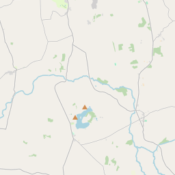
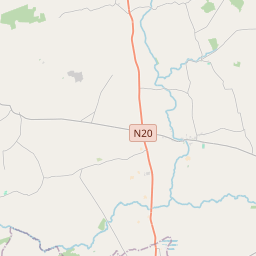
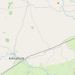
Leaflet | Map data © OpenStreetMap contributors
Area
Garrane has an area of 11.3 km² / 2,783.4 acres / 4.3 square miles.
Townlands
There are 14 townlands that we know about in . This represents 100% of all the area in .
- Cahirduff 387 A, 2 R, 16 P
- Coologe 24 A, 2 R, 8 P
- Corrabul 139 A, 0 R, 17 P
- Corrabulbeg 62 A, 2 R, 35 P
- Dromloughan North 143 A, 2 R, 4 P
- Dromloughan South 71 A, 3 R, 15 P
- Fearoe 140 A, 3 R, 22 P
- Garrane 654 A, 2 R, 12 P
- Honeypound 83 A, 3 R, 25 P
- Killanahan 201 A, 0 R, 31 P
- Killeenoghty 205 A, 0 R, 1 P
- Knocknagranshy 284 A, 0 R, 5 P
- Maghera 80 A, 3 R, 29 P
- Toryhill 303 A, 1 R, 35 P
 OpenStreetMap
Garrane was added to OpenStreetMap on 21 Dec 2016 by Teester.
- View
- Edit