Based on data in OpenStreetMap, here is a list of townlands in the Electoral Division / ED / District Electoral Division of Glenbrohane.
Glenbrohane is in Co.
Glenbrohane is not matched up to Logainm.ie yet.
Map
It is located at 52° 23' 33" N, 8° 23' 41" W.
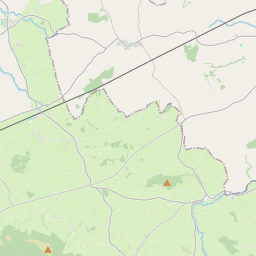
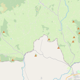
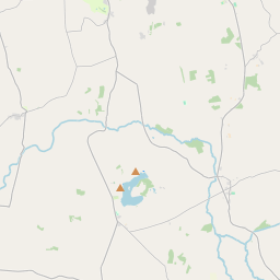
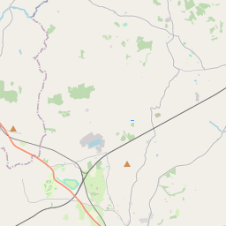
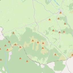
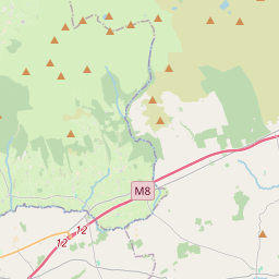
Leaflet | Map data © OpenStreetMap contributors
Area
Glenbrohane has an area of 20.1 km² / 4,963.4 acres / 7.8 square miles.
Townlands
There are 14 townlands that we know about in . This represents 100% of all the area in .
- Ballingarry 631 A, 2 R, 20 P
- Ballinvreena 753 A, 3 R, 21 P
- Ballyfroota 489 A, 1 R, 9 P
- Ballynalacken 313 A, 3 R, 7 P
- Bohereenkyle 190 A, 3 R, 28 P
- Cloghast 333 A, 2 R, 34 P
- Glenbrohane 231 A, 1 R, 36 P
- Glenlary 809 A, 1 R, 32 P
- Knockaunavlyman 57 A, 2 R, 18 P
- Knocklary 316 A, 0 R, 27 P
- Mitchelstowndown 132 A, 2 R, 0 P
- Mitchelstowndown East 146 A, 0 R, 1 P
- Mitchelstowndown North 276 A, 1 R, 14 P
- Mitchelstowndown West 280 A, 2 R, 18 P
 OpenStreetMap
Glenbrohane was added to OpenStreetMap on 21 Dec 2016 by Teester.
- View
- Edit