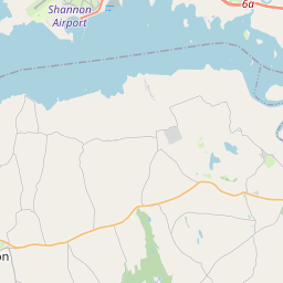
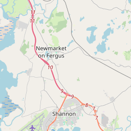
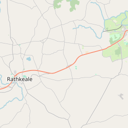
Based on data in OpenStreetMap, here is a list of townlands in the Electoral Division / ED / District Electoral Division of Kilcornan.
Kilcornan is in Co.
Kilcornan is not matched up to Logainm.ie yet.
Map
It is located at 52° 36' 4" N, 8° 52' 34" W.


Leaflet | Map data © OpenStreetMap contributors
Area
Kilcornan has an area of 25.2 km² / 6,224.8 acres / 9.7 square miles.
Townlands
There are 25 townlands that we know about in . This represents 100% of all the area in .
- Ballymacdonagh 145 A, 2 R, 14 P
- Ballynamona 437 A, 3 R, 9 P
- Ballyvogue 214 A, 0 R, 23 P
- Bansha 102 A, 0 R, 33 P
- Blossomhill 167 A, 0 R, 8 P
- Boherboy 79 A, 0 R, 31 P
- Castlegrey 141 A, 0 R, 15 P
- Cloonagalleen 314 A, 0 R, 32 P
- Cowpark 188 A, 1 R, 5 P
- Crokerspark 192 A, 3 R, 3 P
- Curraghchase 1104 A, 1 R, 6 P
- Curraghchase North 283 A, 1 R, 30 P
- Deegerty 213 A, 1 R, 1 P
- Derreen 184 A, 2 R, 28 P
- Dromlohan 377 A, 1 R, 27 P
- Garranard 164 A, 2 R, 12 P
- Kilbreedy 717 A, 1 R, 13 P
- Killeen 101 A, 3 R, 27 P
- Kyleavarraga Middle 53 A, 1 R, 33 P
- Kyleavarraga North 45 A, 1 R, 7 P
- Kyleavarraga South 151 A, 2 R, 11 P
- Rintulla 128 A, 2 R, 22 P
- Shanbally 264 A, 3 R, 32 P
- Stonehall 203 A, 1 R, 15 P
- Tinnacullia 248 A, 1 R, 4 P
 OpenStreetMap
Kilcornan was added to OpenStreetMap on 30 Dec 2016 by Teester.
- View
- Edit

 JOSM
JOSM iD
iD