Based on data in OpenStreetMap, here is a list of townlands in Rathjordan.
Rathjordan is in the baronies of Clanwilliam.
Rathjordan is in the counties of Limerick.
Rathjordan is on Logainm.ie: Rathjordan.
Map
It is located at 52° 32' 19" N, 8° 27' 31" W.
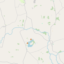
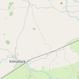
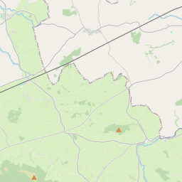
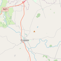
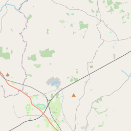
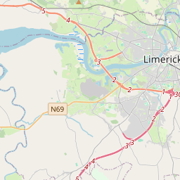
Leaflet | Map data © OpenStreetMap contributors
Area
Rathjordan has an area of 4.3 km² / 1,063.2 acres / 1.7 square miles.
Townlands
There are 2 townlands that we know about in Rathjordan. This represents 100% of all the area in Rathjordan.
- Galboola (An Ghallbhuaile) , Rathjordan Civil Parish, Barony of Clanwilliam, Co. Limerick 251 A, 0 R, 19 P
- An Ghallbhuaile (see Galboola (An Ghallbhuaile) , Rathjordan Civil Parish, Barony of Clanwilliam, Co. Limerick)
- Ráth Shiurdáin (see Rathjordan (Ráth Shiurdáin) , Rathjordan Civil Parish, Barony of Clanwilliam, Co. Limerick)
- Rathjordan (Ráth Shiurdáin) , Rathjordan Civil Parish, Barony of Clanwilliam, Co. Limerick 812 A, 0 R, 14 P
 OpenStreetMap
Rathjordan was added to OpenStreetMap on 12 Jul 2016 by SK53.
- View
- Edit